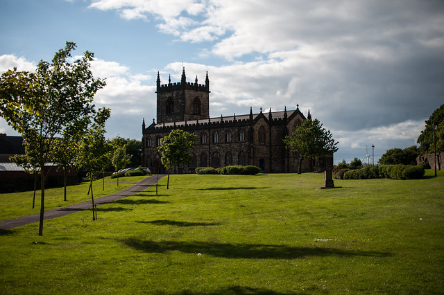
Add your own picture and explain the route, parking, gates, paths or landmarks that help people find it.
Earn 5 points after the picture is checked and accepted.
Add your photo and local directionsShare what you foundWhat is recorded here
Called Eas Mac nEric, it was reputedly founded by St Colmcille in the 6th century (Gwynn and Hadcock 1988, 30) for Dochonna, who is probably the same person and connected with the Ceinéal Eoghain sept of the Uí Neill (Ó Riain 2011, 269-70). It became the inauguration site of the O'Conor kings of Connaught between 1106 and 1224 (FitzPatrick 1998). Listed as Esmakirk in the ecclesiastical taxation of Elphin in 1306 (Cal. Doc. Irl. vol. 5, 224), it is situated on a S and E-facing slope c. 50m from the N bank of the W-E Boyle River at a point where it turns N. It overlooks a waterfall from which it took its name and a ford (RO05-020005-). It adapted its name to Eas Ui Fhloinn from 13th century coarbs and abbots (O'Flanagan 1931, vol. 1, 101).
The ivy-clad portions of the N wall (T 1.4m; H 2.5m) and W wall (L 3m) of a church (dim. c. 21m E-W), and two cross-inscribed stones (RO005-020006-; RO005-020007-) of three known in 1988 (RO005-020008-) (SMR file) are are at the S extremity of a D-shaped graveyard (RO005-020002-) (dims. 91m N-S; 70m E-W) which is defined by a masonry wall and which has been extended to the N. Souterrain (RO005-020009-) is in the vicinity of the church, and the roadway (RO005-021----) extends E from the church on the S bank of the river.
Compiled by: Michael Moore
Date of amended upload: 18 May 2015
The monument record does not grant public access. Check the route and ask the landowner before entering private land.