Add your own picture and explain the route, parking, gates, paths or landmarks that help people find it.
Earn 5 points after the picture is checked and accepted.
Add your photo and local directionsShare what you foundWhat is recorded here
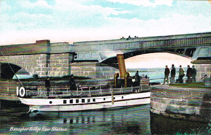
The possession of the mid 16th century native Irish settlement of Banagher or Beannchor, strategically positioned on the River Shannon, was hotly contested between the Mac Coghlans, the O'Maddens and the O'Carrolls. In 1540 Felim mac Coghlan was slain by the O'Maddens following attendance at Mass, presumably in the church of Beannchor (OF021-003001-) and in 1544 Teige Caech O'Carroll in a bid to claim the settlement re-erected a castle there (AFM AD 1455, AD 1489). The settlement appears to have continued and flourished into the opening years of the 17th century as in 1610 Sir John Mac Coghlan, Chief of Delvin Mac Coghlan was granted a market. By the 1620s plans were well underway to create a plantation town at Banagher which commenced with the construction of Fort Falkland (OF021-003007-) by Sir Arthur Blundell in 1624. By 1628 it had received a charter of incorporation which established it as a borough town with rights to a weekly market and two annual fairs. A map of the town c. 1630 shows that it was defended on three sides by a linear earthwork (OF021-003008-) with a projecting bulwark towards the NE corner. The 17th century street plan was linear, the main street running in a NE-SW direction down to the River Shannon, much the same as it is today. Fort Falkland stood at the NW end of the town overlooking the river, a church (OF021-003001-) lay on the W side of the street and a number of burgage plots, the pattern of which is still distinguishable in the modern town, extended back from both sides of the street. Documentary sources with regard to the plantation settlement refer to just one house in the town - that of Sir Arthur Blundell which he built close to Fort Falkland (Loeber 1980, 133-4). Otherwise there are no ostensible remains of 17th-century dwellings in the town. There was a bridge (OF021-003009-) at Banagher by 1690 which, it has been suggested, may have been put up between 1671 and 1690 (Cooke 1875, 320-22). The present bridge dates from the 1840s and was built on the site or in close proximity of its mid 18th century predecessor (Bradley 1986, 12-19). The precise location of this 17th century bridge has not been ascertained but it is very likely to have been built in close proximity to the 18th century bridge and in line with the main street of Banagher, located between the 17th century Fort Falkland and the 18th century bridge that is indicated on the 1838-40 ed. of the OS 6-inch map. The remains of this bridge may survive in situ in the bed of the River Shannon although it is possible that all remains of this bridge were removed when the 18th century bridge was built.
Compiled by: Caimin O'Brien.
Date of upload: 23 May 2011
The monument record does not grant public access. Check the route and ask the landowner before entering private land.