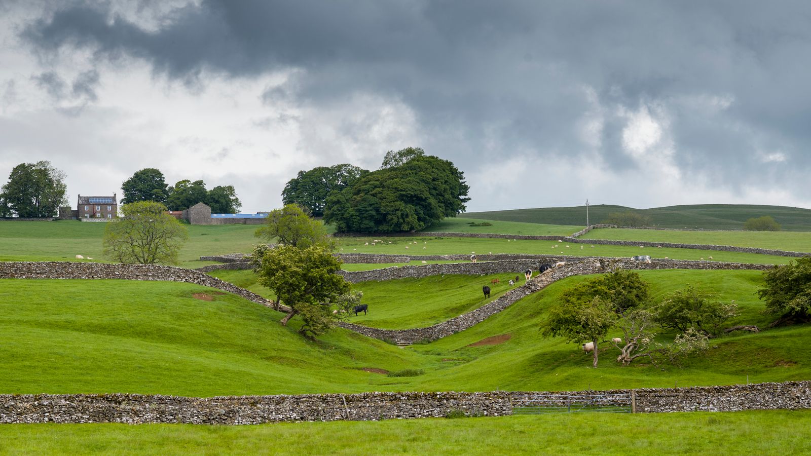
Add your own picture and explain the route, parking, gates, paths or landmarks that help people find it.
Earn 5 points after the picture is checked and accepted.
Add your photo and local directionsShare what you foundWhat is recorded here
This site is located in the industrial peatlands of Clonad Bog. It was recorded in a drain face c. 0.14m below the field surface during the 2013 Reassessment Peatland Survey (Whitaker 2014).
On excavation in 2014 (licence 14E0354) the site was exposed to be a possible platform. A single cutting, measuring 5x2m, was opened; the E extent of the cutting was truncated by a drain. The overlying peat was well-humified Sphagnum peat. The possible platform was composed of closely placed NW-SE orientated brushwood and roundwood elements, measuring a maximum of 1.4m in length. They were laid a maximum of two layers deep. The underlying peat was moderately humified.
A fragment of alder was chosen for AMS dating and returned a result of cal. 1923-1752 BC (UBA 26630).
Compiled by: Jane Whitaker/Femke Vleeshouwer
Date of upload: 25 February 2020
The monument record does not grant public access. Check the route and ask the landowner before entering private land.