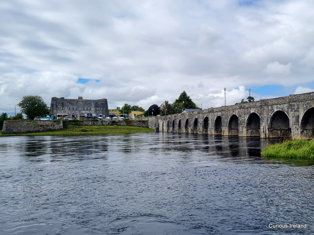
Add your own picture and explain the route, parking, gates, paths or landmarks that help people find it.
Earn 5 points after the picture is checked and accepted.
Add your photo and local directionsShare what you foundWhat is recorded here
The site (L 13.41m min.; Wth 13.39m; D 0.19m min.) consists of a dense arrangement of parallel roundwoods (diam. 0.075-0.106m) and brushwood (diam. 0.03-0.034m) orientated NW-SE. These are overlain by a perpendicular arrangement of heavier roundwood, occasional brushwood and some twigs. Some of the larger elements appear to be partially interwoven. In general, the wood is very crushed and desiccated, particularly the upper exposed material. The site is in moderately humified Sphagnum peat with frequent ericaceous wood fragments and occasional unidentified reeds. This site has been dendrochronologically dated to 1570±9 BC or later (Q10349).
Compiled by: Irish Archaeological Wetland Unit (University College Dublin).
Date of upload: 23 May 2011
The monument record does not grant public access. Check the route and ask the landowner before entering private land.