Add your own picture and explain the route, parking, gates, paths or landmarks that help people find it.
Earn 5 points after the picture is checked and accepted.
Add your photo and local directionsShare what you foundWhat is recorded here
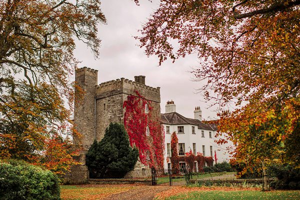
Rectangular area (c. 21m E-W, c. 20m N-S) defined by low earthen banks and sited on an elevated area on rock outcrop. Large rectangular area (c.31m N-S, c. 40m E-W) attached to E side of smaller enclosure or possible bawn. The two areas probably represent the remains of a tower house and bawn. This may be the castle site that is often referred to as the earlier fort of Daingean (OF018-006001-) which was an important O'Conor stronghold, with its associated church of 'Cill O Duirthi' [Killaderry] (OF010-035002-). It has been suggested that Fort Governor was built on the site of the earlier O'Conor fortification, however Castle Barnagh may have been the earlier O'Conor castle that was later replaced by Fort Governor (OF018-006001-) at a new location around which the sixteenth century settlement of Philipstown grew up around.
Compiled by: Caimin O'Brien.
Date of upload: 23 May 2011
The monument record does not grant public access. Check the route and ask the landowner before entering private land.