Add your own picture and explain the route, parking, gates, paths or landmarks that help people find it.
Earn 5 points after the picture is checked and accepted.
Add your photo and local directionsShare what you foundWhat is recorded here
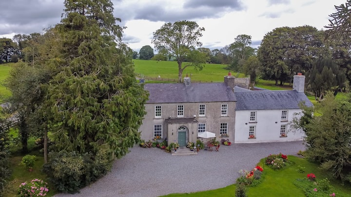
Described in the ITA Survey as 'There survives the S. gable and part of the W wall of the castle (OF016-034001-), with a projecting tower on the S.W. of the S wall the gable survives to c. 35 feet high. The S wall is 2 feet 7 inches thick, and the length from the S.E. corner to end of tower 14 feet 9 inches ext. The tower projecting 3 feet 6 inches from S and W walls, length of its S wall 13 feet 6 inches. There are ground floor loopholes in it the S and W walls; these slits are 2 inches wide and about 1 foot 5 inches high. The gable wall is built of rough stones well plastered inside and roughcast outside. There are small rect. Windows with wooden frames, the marks of the wood being visible on the roughcast; the lintels are wood outside and brick inside. There are two such windows in the S wall (excl. tower) on ground and first floors. The west wall survives to a height of about 5'. The E and N walls have been removed, save for a corner of the modern house, which is part of the E wall probably near the N.E. corner. There may however have been a tower beyond it. The length of the castle was thus over 33' . To the east of the castle are mortared field walls and perhaps traces of a baun. The present house is over 50 years old. The castle is apparently the house marked in the 1835 OS 6-inch map as 'Roscore House in Ruins'. It seems to be XVII-century' (Davies 1942). Not visible at ground level.
Compiled by: Caimin O'Brien.
Date of upload: 23 May 2011
The monument record does not grant public access. Check the route and ask the landowner before entering private land.