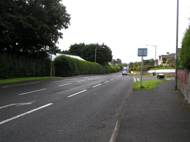
Add your own picture and explain the route, parking, gates, paths or landmarks that help people find it.
Earn 5 points after the picture is checked and accepted.
Add your photo and local directionsShare what you foundWhat is recorded here
The site (Wth 1.8m; D 0.15m) consists of two large roundwoods, two pieces of heavy brushwood and a peg in opposing drain faces. The horizontal elements are closely spaced and are orientated NW-SE, with the peg located 0.46m to their W. The elements have two metal-cut toolmarks evident. The site sits in poorly humified Sphagnum peat containing a large amount of ericaceous remains and Phragmites.
Compiled by: Irish Archaeological Wetland Unit (University College Dublin).
Date of upload: 23 May 2011
The monument record does not grant public access. Check the route and ask the landowner before entering private land.