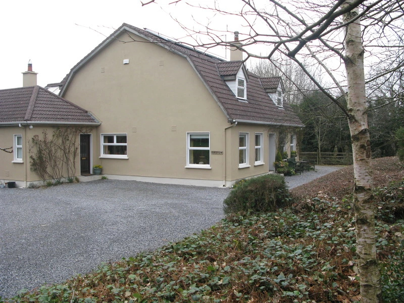
Add your own picture and explain the route, parking, gates, paths or landmarks that help people find it.
Earn 5 points after the picture is checked and accepted.
Add your photo and local directionsShare what you foundWhat is recorded here
No surface remains visible of 'fort' recorded in 1942. Described in 1942 as located at 'E[ast] end of a mound of clay and gravel, one of a number dotted on a limestone plain, near base of mound. The fosse is 5' [1.5m] wide, on upper sides (S & W) up to 3' [0.9m] deep outside, on lower nearly filled. The bank of clay rises quite gently from fosse 2-3' [0.6-0.9m] and from inside 1' [0.3m]. The centre slopes gently E and is very overgrown with thorn and other bushes; indeed the fort is quite concealed in a thorn brake. Fort circular, int. diam. 9yds. [8m]' (ITA Survey 1942, SMR File). Recorded in 1977 as a destroyed monument which was described as located in 'an area of low rises or outcrops. There is no trace of an antiquity there now' (SMR file 1977). Depicted as a small circular enclosure on the 1838 ed. OS 6-inch map and on the 1908 ed. OS 25-inch map.
The above description is derived from the published 'Archaeological Inventory of County Offaly' (Dublin: Stationery Office, 1997). In certain instances the entries have been revised and updated in the light of recent research.
Compiled by Caimin O'Brien
Date of upload/revision: 22 December 2011
This remains an important historical record, but the official description says the monument is no longer visible or has been destroyed.
The monument record does not grant public access. Check the route and ask the landowner before entering private land.