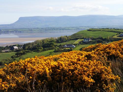
Add your own picture and explain the route, parking, gates, paths or landmarks that help people find it.
Earn 5 points after the picture is checked and accepted.
Add your photo and local directionsShare what you foundWhat is recorded here
Situated on grassland. According to local information this was the site of a 'fairy fort' which was bulldozed in the 1960s. No surface remains visible on Google Earth orthoimages.
See attached Google Earth orthophotos
Compiled by: Caimin O'Brien based on details provided by Bernie Moran
Date of upload: 7 April 2021
The monument record does not grant public access. Check the route and ask the landowner before entering private land.