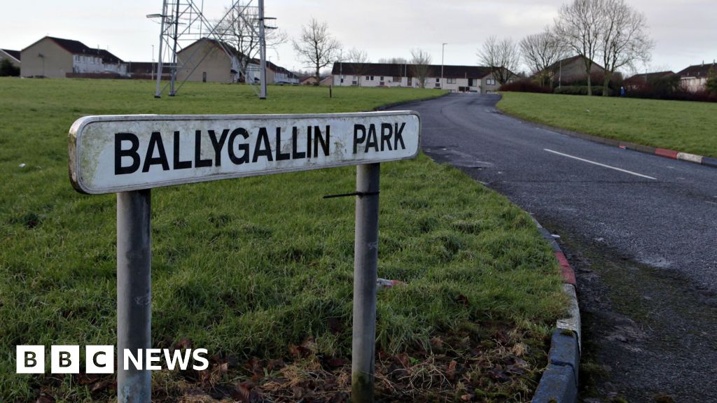
Add your own picture and explain the route, parking, gates, paths or landmarks that help people find it.
Earn 5 points after the picture is checked and accepted.
Add your photo and local directionsShare what you foundWhat is recorded here
Site of a natural mound which appears to be of no archaeological significance. Described in 1977 as, 'A natural mound?, This is a low rounded mound. The roadway cuts away part of the mound on the eastern side. The southern end of the mound has been scarped and a number of bushes growing along the perimeter. This does not resemble an antiquity and it appears to be a natural mound', (ASI file 1977). Depicted on the 1838 edition of the OS 6-inch map not as an antiquity, but as an irregular shaped earthwork or enclosure intersected by a field boundary on the W side running NW-SE. Depicted as a small natural hillock defined by a 200 ft contour line on the revised 1908 edition of the OS 6-inch map. Of doubtful antiquity.
The above description is derived from the published 'Archaeological Inventory of County Offaly' (Dublin: Stationery Office, 1997). In certain instances the entries have been revised and updated in the light of recent research.
Compiled by Caimin O'Brien
Date of upload/revision: 19 December 2011
The monument record does not grant public access. Check the route and ask the landowner before entering private land.