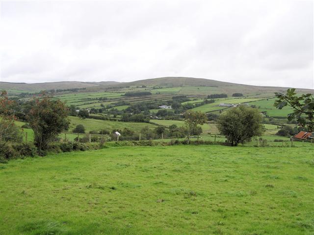
Add your own picture and explain the route, parking, gates, paths or landmarks that help people find it.
Earn 5 points after the picture is checked and accepted.
Add your photo and local directionsShare what you foundWhat is recorded here
Located on a slight N-facing slope down to a small canalized WSW-ENE stream (L c. 400m) connecting Lough Naglack just to the W with Moynalty Lough c. 400m to the E. The line of an old road is depicted faintly on the 1834 edition of the OS 6-inch map approaching Broken Bridge from the S while the present line is depicted running parallel with it just to the W. A hollow way (L c. 200m) is visible as a sunken area (Wth of top c. 4.5m; Wth of base 2.75m; D 0.6-0.75m) with a straight edge on the W side running S-N towards the bridge, which is probably an eighteenth century structure with one arch (Coughlan 2003, Fig. 22, Pl. 17). Archaeological testing (02E1212) in four trenches across the N end of the hollow way showed topsoil (D 0.15-0.2m) lying directly on subsoil and produced no datable material (Coughlan 2009, 6-7). Much of the hollow way survives undisturbed in a wood bordering the E side of the present by-road.
Compiled by: Michael Moore
Date of upload: 14 January 2020
The monument record does not grant public access. Check the route and ask the landowner before entering private land.