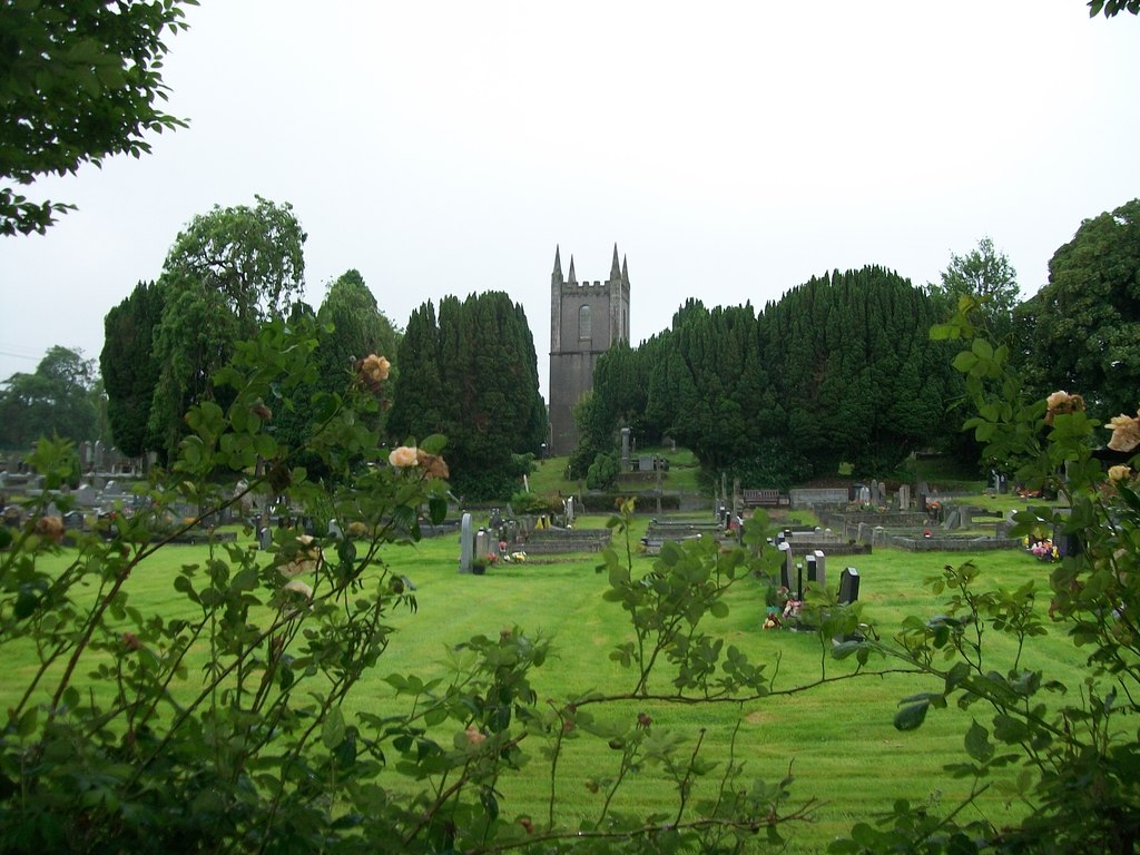
Add your own picture and explain the route, parking, gates, paths or landmarks that help people find it.
Earn 5 points after the picture is checked and accepted.
Add your photo and local directionsShare what you foundWhat is recorded here
Discovered prior to road construction (Excavation Licence No. 03E1255). Fifteen to seventeen inhumation burials in fourteen grave-cuts, some partially stone-lined, were excavated along with a number of disarticulated remains which possibly accounted for a further three to four individuals. The burials were centered on two NNW-SSE lines and a single ENE-WSW line with a single isolated burial c. 10m to the N. All the burials were orientated in an E-W direction, with the heads to the W, and are likely to be from a single extended family. There were six adult males and five adult females with three juveniles. Three calibrated radiocarbon dates range from AD 538-647 to AD 660-773). (Walsh F. 2004c, 9; 2006, 396-7; 2012 94-98)
Date of revised upload: 24 July 2017
The monument record does not grant public access. Check the route and ask the landowner before entering private land.