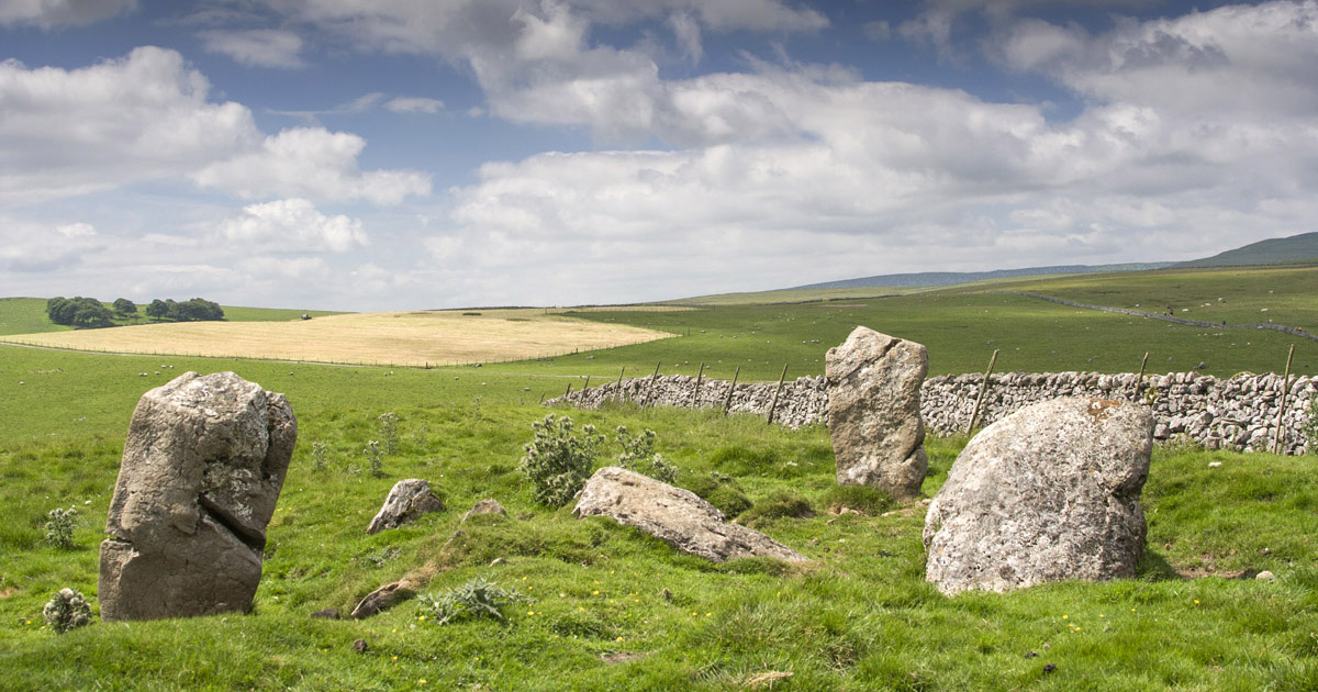
Add your own picture and explain the route, parking, gates, paths or landmarks that help people find it.
Earn 5 points after the picture is checked and accepted.
Add your photo and local directionsShare what you foundWhat is recorded here
Located towards the bottom of a W-facing slope and c. 2m out from a NW-SE field bank on the NE side. It is described in gothic lettering as the site of a ‘Druid’s Altar’ only on the 1907 edition of the OS 6-inch map. The OS Revision Name Book describes this as "A rude flag about 2.25 ft in breadth and 2.5 ft in height, and it is said to have stood over Tubber na Downey or Sunday well (as tradition says) before it (i.e. the well) moved by some spell to the south end of the townland where it still remains' (1857, Sheet 25D, p.9). The stone (L 1.16m; Wth 0.45m; H 0.5m) was parallel with the field bank. A private house was built on this plot c. 40m to the SE before 1995 (OSAP), but archaeological testing (10E0208) in the plot immediately to the SW produced no related material (McGonigle 2010, 2012).
The above description is derived from the published 'Archaeological Inventory of County Monaghan' (Dublin: Stationery Office, 1986). In certain instances the entries have been revised and updated in the light of recent research.
Compiled by: Michael Moore
Date of revision: 27 February 2018
Amended: 17 January 2020
The monument record does not grant public access. Check the route and ask the landowner before entering private land.