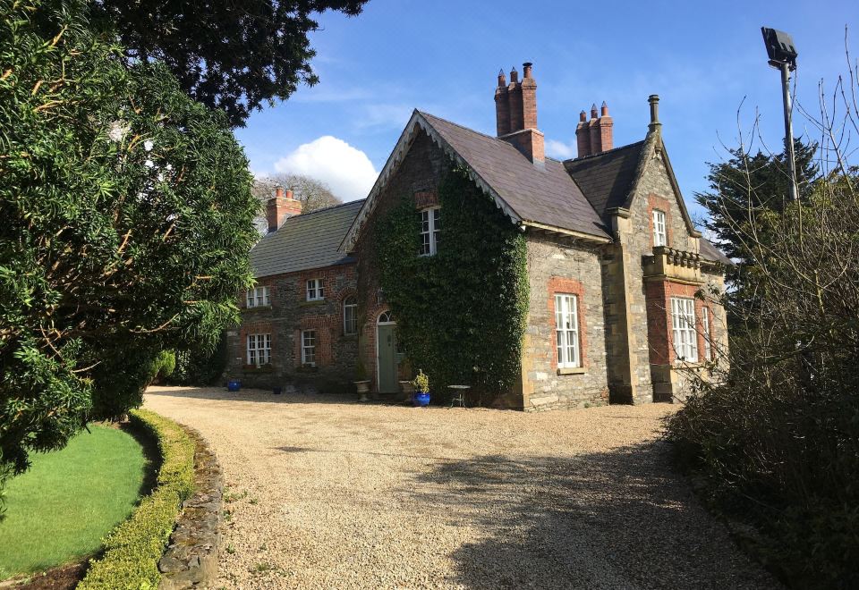
Add your own picture and explain the route, parking, gates, paths or landmarks that help people find it.
Earn 5 points after the picture is checked and accepted.
Add your photo and local directionsShare what you foundWhat is recorded here
Discovered prior to road construction (Excavation Licence No. 04E1159). A spread of charcoal-rich silt and heat shattered stones (dims. c. 5m x 2m; D 0.25m) was initially uncovered. This sealed a large sub-circular pit (2.3m x 1.7m; D 0.25m) which possibly represented the remains of a trough. A sample of charcoal from the stone spread produce a C14 determination of 2140-1740 Cal. BC (Walsh 2009, 5-6). (Walsh F. 2007, 357)
Date of revised upload: 5 December 2017
The monument record does not grant public access. Check the route and ask the landowner before entering private land.