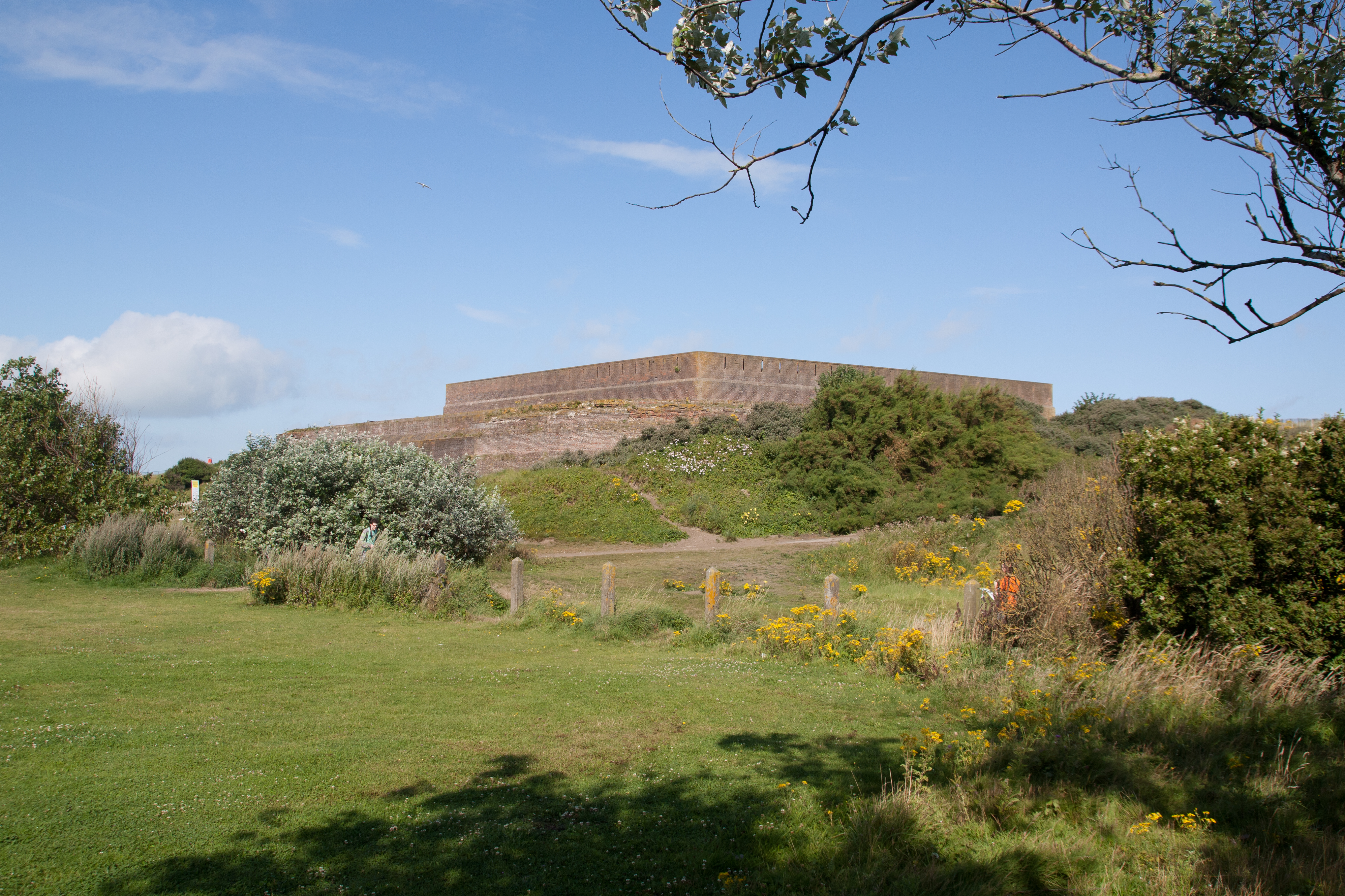
Add your own picture and explain the route, parking, gates, paths or landmarks that help people find it.
Earn 5 points after the picture is checked and accepted.
Add your photo and local directionsShare what you foundWhat is recorded here
After a rebellion the land of Brian Óg Mac Mahon, amounting to three Ballybetaghs or villages, was forfeited, and in 1609 it was granted to Sir Thomas Ridgeway as the manor of Upper Trough. This became the core of the Glaslough estate, consisting of almost all of Donagh parish, which was owned by the Countess of Carlisle in 1640, probably as mortgage security (Shirley 1879, 135). In 1661 John Leslie, who had been successively bishop of the Scottish Isles and Raphoe, was appointed Bishop of Clogher, and he had acquired Glaslough by 1665 (ibid. 140-5). The core of the estate has remained in the Leslie family down to the present.
Ridgeway was not remiss in developing his property. In 1611 it was reported by Lord Carew, a special Commissioner reporting on the Plantation of Ulster, that Sir Thomas had built a bastioned fort at Glaslough, within which was ‘a little English house’ (Hunter 1975, 81). Although Ridgeway’s plans might have been ambitious, it is a moot point as to how much was actually completed in 1611 rather than planned. The location was probably on the E-W ridge of Glaslough, but perhaps no more than the English house had been constructed. In 1720 it is recorded in a letter that ‘the brick house has fallen down’ and this may have been Ridgeway’s ‘English house’. It was replaced by a seven bay three storey and attic house in a Queen Anne style with the double bays at either end stepped slightly forward (Shirley 1879, 146). This is the house that is described as Castle Leslie on the 1834 edition of the OS 6-inch map. It was replaced by the present house, located just to the NE, in 1878, for which see this web-page accessed on 01/09/2017, but there is no evidence that the fort was ever built: http://www.buildingsofireland.ie/niah/search.jsp?type=record&county=MO®no=41301017
The above description is derived from the published 'Archaeological Inventory of County Monaghan' (Dublin: Stationery Office, 1986). In certain instances the entries have been revised and updated in the light of recent research.
Date of revision: 12 December 2017
The monument record does not grant public access. Check the route and ask the landowner before entering private land.