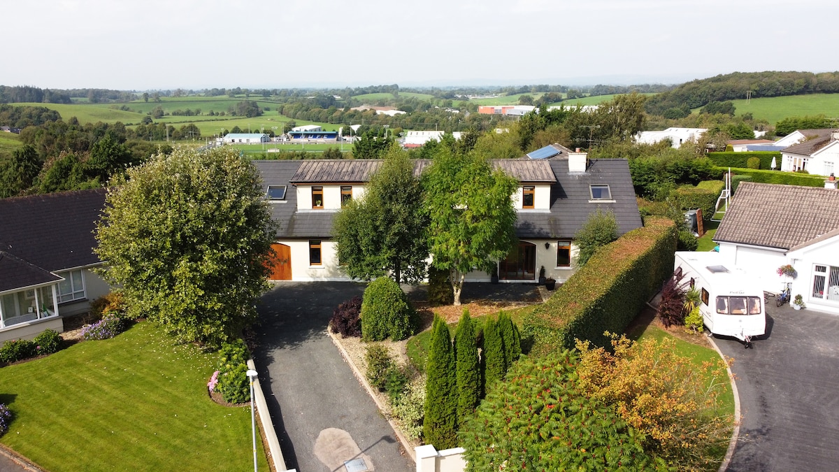
Add your own picture and explain the route, parking, gates, paths or landmarks that help people find it.
Earn 5 points after the picture is checked and accepted.
Add your photo and local directionsShare what you foundWhat is recorded here
Located on a gentle S-facing slope. There are local reports that a number of distinctive rings become visible when this field is growing cereals. These were about twelve feet (diam. c. 4m) across. Bricks had been made in the locality and they may be related to this as they could represent firing-pits. The rings do not appear on any aerial photographs. The precise locations are not known.
Date of revised upload: 29 August 2017
The monument record does not grant public access. Check the route and ask the landowner before entering private land.