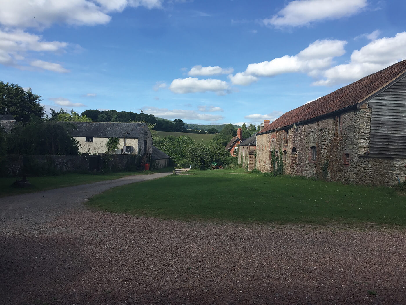
Add your own picture and explain the route, parking, gates, paths or landmarks that help people find it.
Earn 5 points after the picture is checked and accepted.
Add your photo and local directionsShare what you foundWhat is recorded here
Located on a fairly level landscape. The cropmark of a subcircular enclosure (dims c. 45m E-W; c. 40m N-S) defined by straight sections of a slight fosse is visible NE-S-NW on Livingatlas satellite imagery from (09/07/2013). The cropmarks of relict drains extend from the perimeter at S and NW. It is also visible as an unclear feature on Google Earth (07/05/2017), and was first reported by Gareth John.
See the attached enhanced view from livingatlas;
Compiled by: Michael Moore
Date of upload: 9 May 2020
The monument record does not grant public access. Check the route and ask the landowner before entering private land.