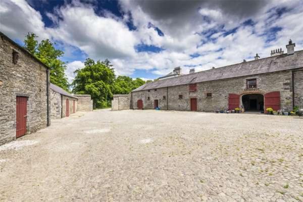
Add your own picture and explain the route, parking, gates, paths or landmarks that help people find it.
Earn 5 points after the picture is checked and accepted.
Add your photo and local directionsShare what you foundWhat is recorded here
Situated on a low E-W ridge. Centre-line testing (04E0485) by R. O’Hara (2004) of two fields in Testing area 1 of the Dunboyne link road (R157) to the M3 (excavations.ie 2004:1198) confirmed the presence of archaeological features where magnetic susceptibility and gradiometer surveys (06R0038) by J. Nicholls (2006) had already identified numerous anomalies. The area within the road-take was completely excavated (E003023) by A. O’Connell (O’Connell and Clark 2009) who uncovered a complex of monuments dating from at least the Early Bronze Age up to the high medieval period (excavations.ie: 2005: AD5; 2006:1525).
A D-shaped annexe (int. dims c. 28m E-W; c. 25m N-S) defined by a fosse was attached to the W end of the S side of the outer fosse of the large enclosure, constituting PHASE 4 in the development of the monument. Two compacted stony dumped layers in a limited area (Wth of top 1.5m) of the outer fosse of the large enclosure at one point could have formed a causeway into the annexe. However, the ditch of the annexe was re-cut with that of the outer fosse of the large enclosure in Phase 5 with the result that the original annexe ditch (Wth of top 0.5-1.75m; D 0.47-0.85m) only survives in a short section (L 9.8m) at NW, in the angle created between the Phase 3 and Phase 5 ditches. It had five fills from which some animal bone and a fragment of iron was recovered, and it is thought that the annexe might have functioned as a cattle enclosure. (O’Connell and Clark 2009, 14-15)
See the attached image:
_1 Post-excavation plan of the large enclosure from O'Connell and Clark (2009, fig. 63)
Compiled by: Michael Moore
Date of upload: 5 November 2021
O’Connell, A. & Clark, A. 2009 M3 Clonee – North of Kells. Contract 1 Clonee – Dunshaughlin. Final report on the Archaeological Excavation of Castlefarm 1, Co. Meath. Licence: E003023. Unpublished report, Archaeological Consultancy Services
O’Hara, R. 2004 M3 Clonee- North of Kells. Contract 1 Clonee-Dunshaughlin. Archaeological Assessment at Testing Area 1, Castlefarm, County Meath. Licence: 04E0485. Unpublished report, Archaeological Consultancy Services
The monument record does not grant public access. Check the route and ask the landowner before entering private land.