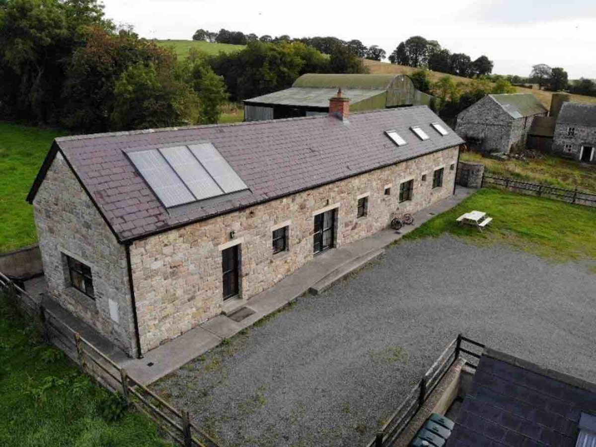
Add your own picture and explain the route, parking, gates, paths or landmarks that help people find it.
Earn 5 points after the picture is checked and accepted.
Add your photo and local directionsShare what you foundWhat is recorded here
Located on a gentle S-facing slope and on what might once have been demesne land of Bride’s Stream House c. 200m to the SSW. A circular grass-covered area (diam. c. 25m) defined by a traces of a fosse NW-SE or possibly a slight bank SE-SW is visible on Google Earth (Mar. 2020, Mar. 2022). It could have an outer bank and it is bisected by a WNW-ESE relict field drain. This emerges from a NNE-SSW mapped field bank at W that could truncate the monument at this side. Relict cultivation ridges in the surrounding field do not impinge on the enclosure. It was first reported by Jean Charles Caillére, and it is also faintly visible on Digital Globe (c. 2013), Apple Maps and OSI images (1995).
See the attached enhanced view from Google Earth (Mar. 2022)
Compiled by: Michael Moore
Date of upload: 12 July 2022
The monument record does not grant public access. Check the route and ask the landowner before entering private land.