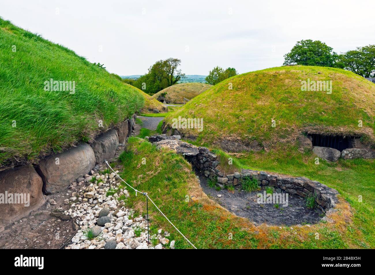
Add your own picture and explain the route, parking, gates, paths or landmarks that help people find it.
Earn 5 points after the picture is checked and accepted.
Add your photo and local directionsShare what you foundWhat is recorded here
Situated on a slight S-facing slope overlooking a small NW-SE stream c. 80m to the SW and the NW-SE Rye River which is c. 500m to the SW. Archaeological testing (19E0547) of an extensive area (max. dims c. 350m NW-SE; c. 280m NE-SW) identified a D-shaped enclosure (int. dims c. 53m NE-SW; c. 50m NW-SE) with the straight edge at SE (excavations.ie 2019:243). It is defined by a fosse (Wth of top 2-2.5m) that was sampled at two points (D 0.95; 1.2m) and there is an entrance gap (Wth 2.9m) at SW. No artefacts were recovered from the fosse, but a furnace bottom was encountered 8.5m N of the enclosure. (Coen 2019, 13-14)
Compiled by: Michael Moore
Date of upload: 29 September
The monument record does not grant public access. Check the route and ask the landowner before entering private land.