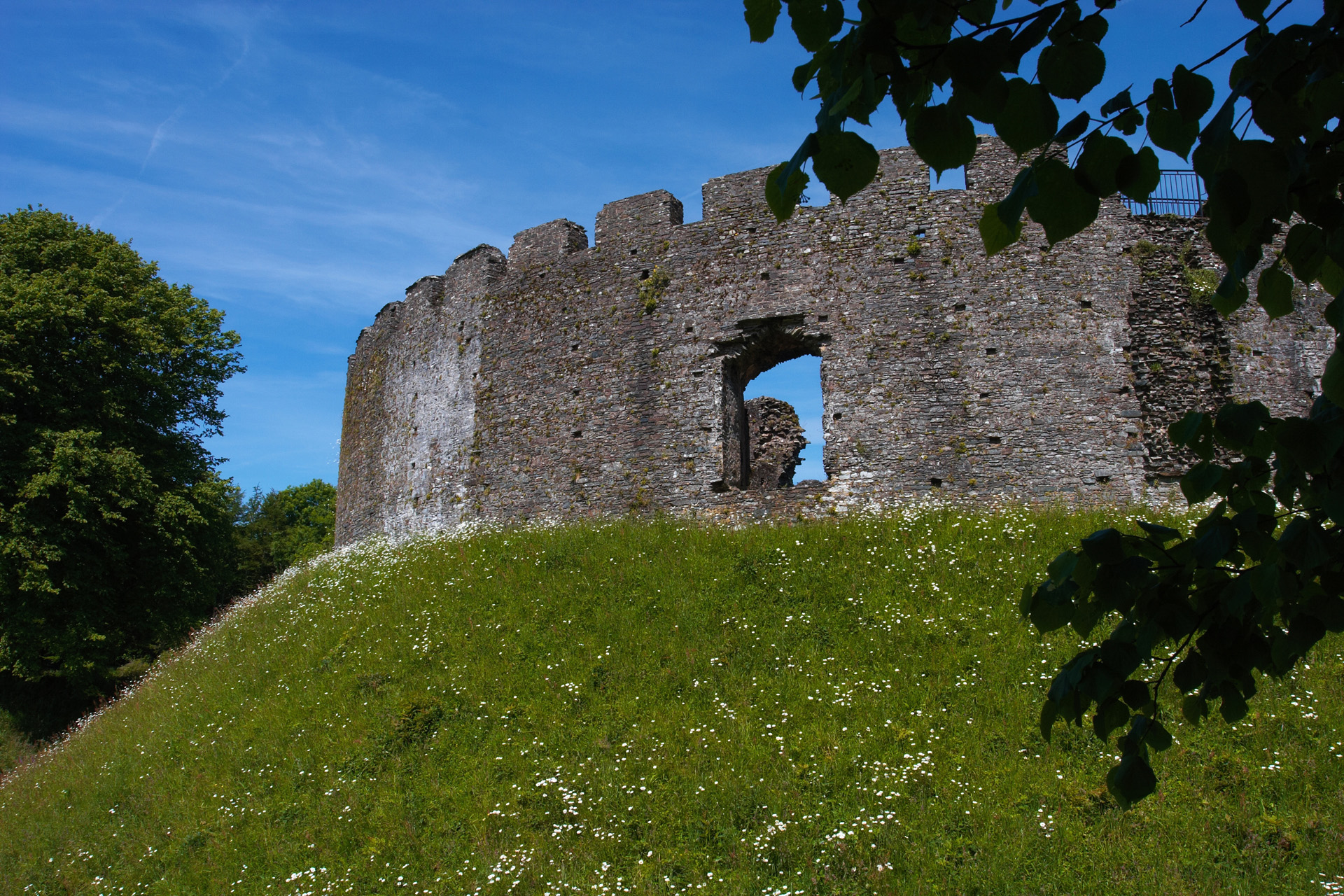
Add your own picture and explain the route, parking, gates, paths or landmarks that help people find it.
Earn 5 points after the picture is checked and accepted.
Add your photo and local directionsShare what you foundWhat is recorded here
The Parys family of Agher or Agherpallis are recorded from the fourteenth century and in 1385 Edward Perers possessed two carucates at Agher. In 1534 Christopher Parys was implicated in the rebellion of Silken Thomas, but if they suffered forfeiture they had recovered Agher by the middle of the century. However, the involvement of George Parys in conspiracies with O’Connor of Offaly resulted in the confiscation of Agher c. 1550. Although Parys was reconciled to the Crown by 1552, Agher had already been granted to a George Gernon of Louth, who managed to retain it, and Parys received no compensation. In 1567 Gernon secured a lease for 21 years of ‘the castle of Agher, Ballintogher and Trubly’.
In 1621 Anthony Gernon held from the King ‘one castle, five messuages, seven cottages, 240 acres of arable land and 200 acres of moor in the town of Agher’ (Devitt 1909-11, 214-21). According to the Civil Survey (1656-8) George Gernon of Agherpallice, owned 425 acres at Agherpallice and on the premises were ‘a castle, a church, a pigeon house and some cabins’. He also held 50 acres at Ballintogher in the same parish (Simington 1940, 156). After the Cromwellian period Agher was acquired ultimately by Benjamin Pratt from Leicestershire, but in the mid-eighteenth century it passed through marriage to the Winter family, who were the principal family in the parish into the nineteenth century (Lewis 1837, 1, 18). They probably built Agherpalis House, now removed, and established the landscaped gardens that were worthy of note (idem.). These were largely to the W of the house, but the medieval remains SE-SW of the old house would also probably have been affected.
Situated on a slight rise on a S-facing landscape with a small NE-SW stream c. 100m to the SE. The motte is a flat-topped, grass-covered, subrectangular earthen mound (diam. of top 11m E-W; 10.2m; diam. of base 15-16m; H 2-2.5m) within a D-shaped, grass-covered bailey (dims c. 100m NE-SW; c. 100m NW-SE) defined by a curving scarp (H 1.4m) SSW-WNW morphing into a fosse (Wth 5m; D 0.4-0.6m) WNW-NE. The straight NE side to of the bailey is formed by a ditch or fosse (Wth 3-4m; D 0.2-0.3m). An inner, rectangular bailey (dims 60m NE-SW; c. 30m NW-SE may exist around the motte, defined by scarps and a ditch at NW, but this may be the result of landscaping. The deserted settlement (ME045-010----) is immediately NW of the outer bailey and the field system (ME048-012----) extends off to the SW. The site of Agher parish church (ME048-009----) is c. 500m to the W.
The above description is derived from the published 'Archaeological Inventory of County Meath' (Dublin: Stationery Office, 1987). In certain instances the entries have been revised and updated in the light of recent research.
Compiled by: Michael Moore
Date of revision: 25 July 2016
The monument record does not grant public access. Check the route and ask the landowner before entering private land.