Add your own picture and explain the route, parking, gates, paths or landmarks that help people find it.
Earn 5 points after the picture is checked and accepted.
Add your photo and local directionsShare what you foundWhat is recorded here
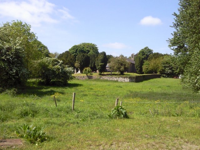
Located on a slight rise in a fairly level landscape, with the S-N Skane Rive c. 100-170m to the E. The site of the medieval parish church of Kilmessan (ME037-029----) is within a subrectangular graveyard (dims c. 60m N-S; c. 55m E-W) defined by masonry walls, with trees inside the perimeter. Headstones date from 1705 to 1924, but there are no visible remains of the medieval church.
Archaeological testing (14E0137) by P. D. Sweetman in the field to the N and E of the graveyard confirmed the findings of a geophysical survey and identified the fosse of an enclosure (diam. c. 50m) centered on the E end of the graveyard (excavations.ie 2014:393). Human remains were apparent at two points in the top fill of dark grey loose sandy soil of the ditch, which was not excavated at any point. (Sweetman 2014)
Compiled by: Michael Moore
Date of upload: 11 March, 2015
Amended: 26 May 2021
This remains an important historical record, but the official description says the monument is no longer visible or has been destroyed.
The monument record does not grant public access. Check the route and ask the landowner before entering private land.