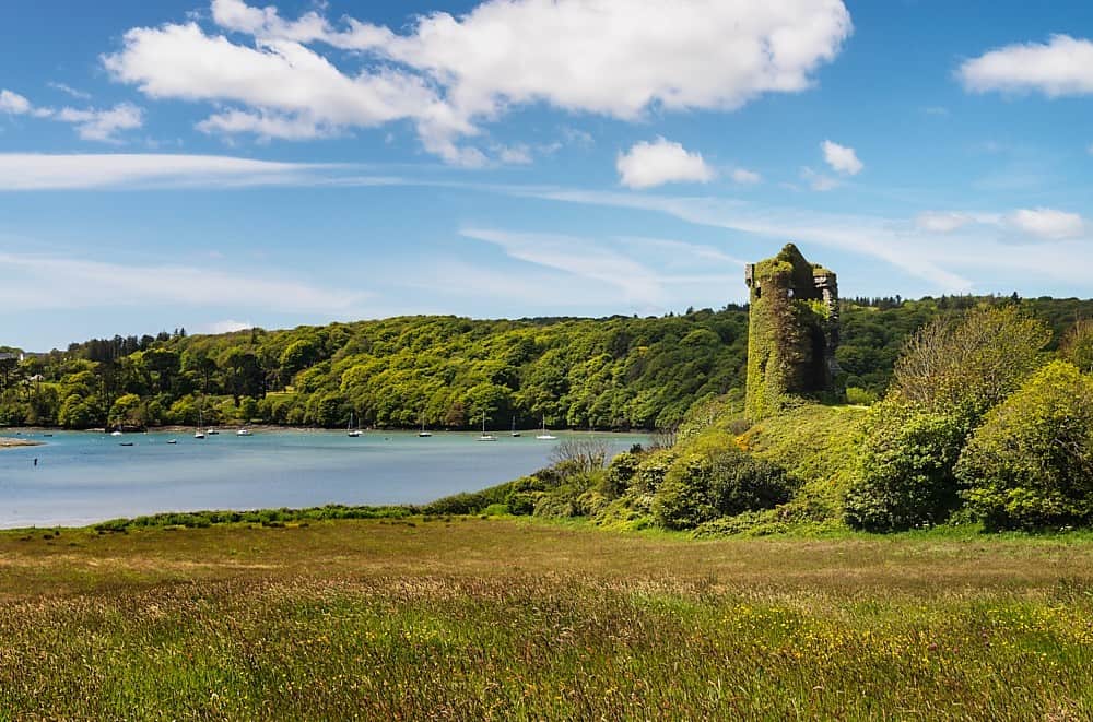
Add your own picture and explain the route, parking, gates, paths or landmarks that help people find it.
Earn 5 points after the picture is checked and accepted.
Add your photo and local directionsShare what you foundWhat is recorded here
Situated on a rise in a gently undulating landscape. It is depicted on the 1836 and 1912 editions of the OS 6-inch map and described as ‘Walsh’s Raheen’ on both. Only the S half remains. This is a grass-covered area defined by an arc (Chord 54m SE-W) of an earthen bank (at SW: Wth of base 11m; int. H 0.4m; ext. H 2.6m) separated by a rounded fosse (at SW: Wth of top 8m; ext. D 1.6m) from an outer bank (at SW: Wth of base 6m; ext. H 0.4m) which supports some mature deciduous trees. The entrance could have been at SE where the defensive features meld into the field surface
The above description is derived from the published 'Archaeological Inventory of County Meath' (Dublin: Stationery Office, 1987). In certain instances the entries have been revised and updated in the light of recent research.
Compiled by: Michael Moore
Date of revision: 21 August 2019
The monument record does not grant public access. Check the route and ask the landowner before entering private land.