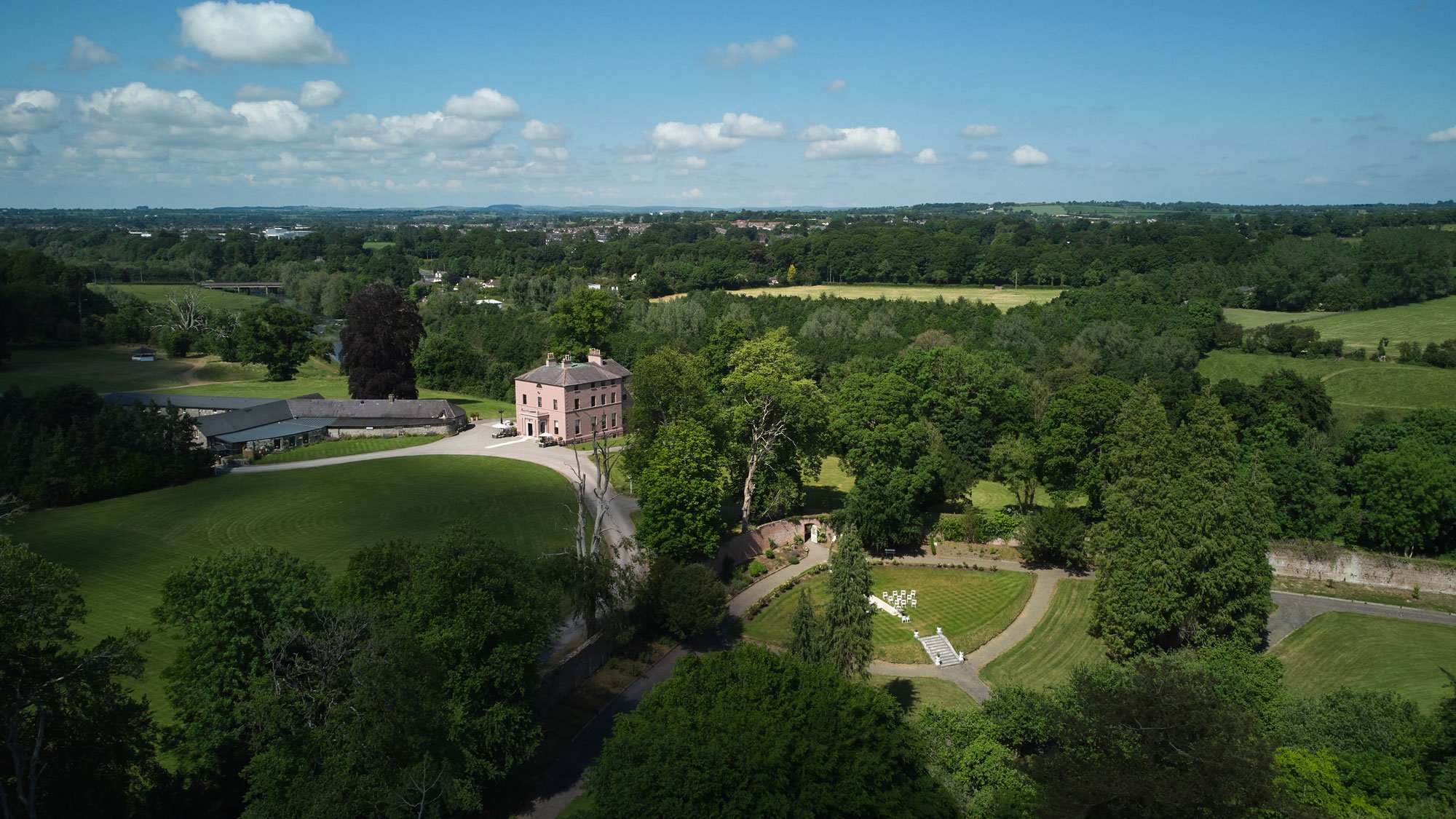
Add your own picture and explain the route, parking, gates, paths or landmarks that help people find it.
Earn 5 points after the picture is checked and accepted.
Add your photo and local directionsShare what you foundWhat is recorded here
Located on a gentle E-facing slope. The cropmark of a subrectangular feature (dims c. 40m NW-SE; c. 17m NE-SW) defined by straight sections of ditches at N, NE and SE is visible on Apple Maps (2018). It is cut at SW by the cropmark of a rectangular or D-shaped quarry (dims c. 45m NW-SE; c. 35m NE-SW) visible as a green feature. The quarry is depicted on the 1836 edition of the OS 6-inch map and described as a ‘Sand Pit’ but the enclosure is not depicted on any map. The cropmark of the quarry can also be seen on OSI images (1995, c. 2018). It was first reported by Jean Charles Caillere.
See the attached enhanced image from Apple Maps
Compiled by: Michael Moore
Date of upload: 25 June 2021
The monument record does not grant public access. Check the route and ask the landowner before entering private land.