Add your own picture and explain the route, parking, gates, paths or landmarks that help people find it.
Earn 5 points after the picture is checked and accepted.
Add your photo and local directionsShare what you foundWhat is recorded here
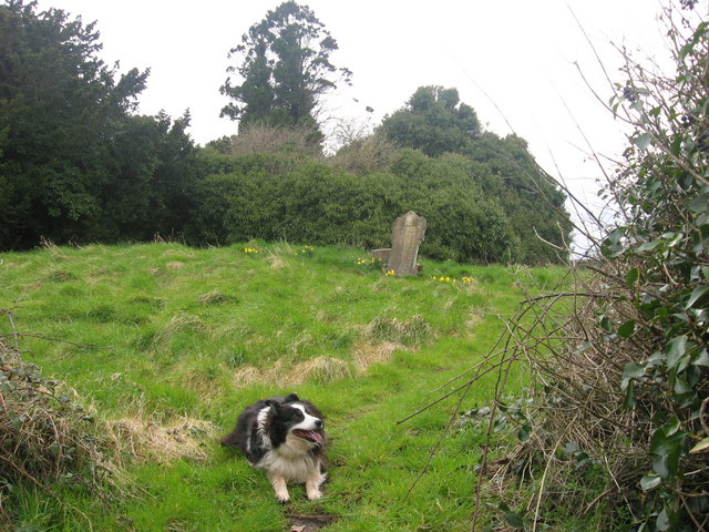
Situated on a rise in a fairly level landscape at the S edge of the W-E valley of the Nanny River with a WSW-ENE section of the stream c. 250m to the N. The parish church of Timoole (ME032-013----) is within a neglected subrectangular graveyard (dims c. 45m ENE-WSW; c. 35-40m NNW-SSE) defined by masonry walls. The font from here was moved to the Roman Catholic church at Kentstown (ME032-005----), c. 5km to the W, shortly after the Catholic church was built (Cogan 1862-70, 1, 346-7; Roe 1968, 69-72).
Compiled by: Michael Moore
Date of upload: 23 January, 2015
The monument record does not grant public access. Check the route and ask the landowner before entering private land.