Add your own picture and explain the route, parking, gates, paths or landmarks that help people find it.
Earn 5 points after the picture is checked and accepted.
Add your photo and local directionsShare what you foundWhat is recorded here
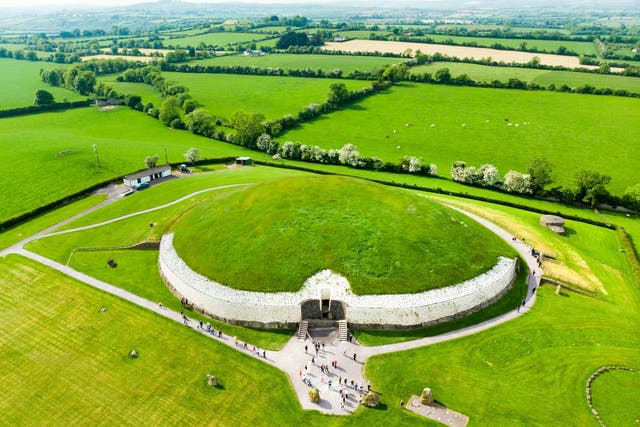
Located on the floodplain on the N bank of a W-E section of the River Boyne, c. 100m from the river in Brú na Bóinne. Exceptionally dry weather conditions during June / July 2018 brought out the cropmark of a circular enclosure (diam. c. 40m) defined by a single narrow fosse feature, which is visible SW-NW-NE and was first photographed by Anthony Murphy using a drone-mounted camera. It is located between the embanked enclosure (ME026-006----) c. 30m to the ESE and the ceremonial enclosure (ME026-033----), which is c. 20m to the WNW, and it appears to overlie the arc of the detached fosse associated with (ME026-033----).
Compiled by: Michael Moore
Date of upload: 16 July, 2018
The monument record does not grant public access. Check the route and ask the landowner before entering private land.