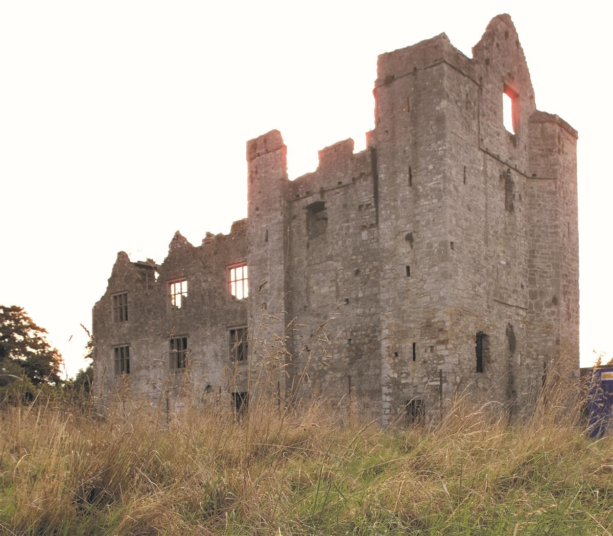
Add your own picture and explain the route, parking, gates, paths or landmarks that help people find it.
Earn 5 points after the picture is checked and accepted.
Add your photo and local directionsShare what you foundWhat is recorded here
Situated on a slight W-facing slope c. 100m from the steep slope down (H c. 10m) to a SE-NW section of the River Boyne, and on land that was on the demesne of Violet Hill, originally a small Georgian house of c. 1790 (buildingsofireland.ie 14010044) that is c. 150m to the NNW. The cropmark of an oval enclosure (dims c. 30m NW-SE; c. 22m NE-SW) defined by a single fosse, with possible quarries on the perimeter at NE and S, is visible on OSI images (1995) and on Google Earth (14/07/2018). There are possible entrances at N and S but no internal features are visible. Although it is in an area that was archaeologically tested (02E1178) by E. O’Donovan (excavations.ie 2002:1421), trenching did not extend to this area. It was first reported by Steven McGlade.
See the attached enhanced view from OSI images (1995)
Compiled by: Michael Moore
Date of upload: 4 October 2021
The monument record does not grant public access. Check the route and ask the landowner before entering private land.