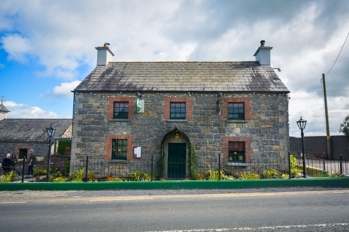
Add your own picture and explain the route, parking, gates, paths or landmarks that help people find it.
Earn 5 points after the picture is checked and accepted.
Add your photo and local directionsShare what you foundWhat is recorded here
Situated on top of a hillock in an undulating landscape. This is depicted as an oval copse (dims c. 75m E-W; c. 50m N-S) annotated ‘Fort’ on the 1836 edition of the OS 6-inch map and as a subrectangular field (dims 50m E-W; c. 45m N-S) on the 1908 edition. It is described in 1969 (SMR file) as a circular grass-covered and slightly domed area with some tree-stumps (diam. 42m NE-SW; 40m E-W) defined by a grass-covered earthen bank but there is no evidence of an outer fosse. There is a slight inner bank W-NNW and the bank is fairly straight on the N side. There are gaps in the bank at ENE, SSW and WSW but the original entrance is not identified. The rath is surrounded by modern field banks. Archaeological monitoring (00E0058) by A. Wallace of works connected with the construction of houses immediately to the E produced no related material (excavations.ie 2000:766), although some worked flints had been recovered from the ploughed field.
The above description is derived from the published 'Archaeological Inventory of County Meath' (Dublin: Stationery Office, 1987). In certain instances the entries have been revised and updated in the light of recent research.
Compiled by: Michael Moore
Date of upload: 10 July 2007
Amended: 29 March 2023
The monument record does not grant public access. Check the route and ask the landowner before entering private land.