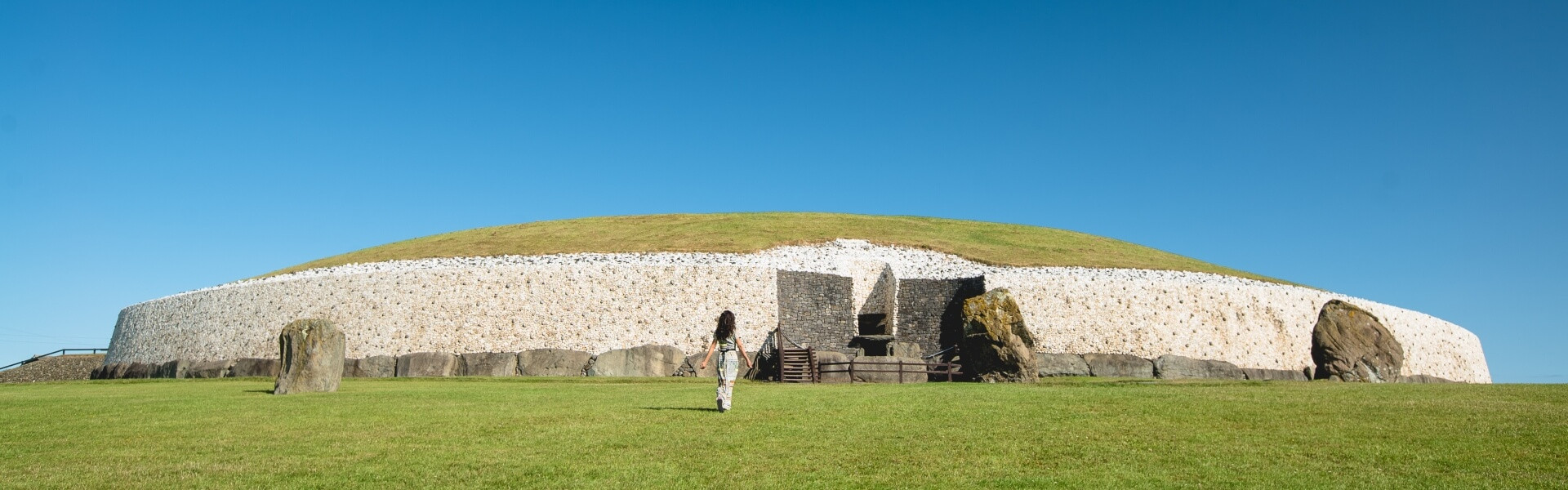
Add your own picture and explain the route, parking, gates, paths or landmarks that help people find it.
Earn 5 points after the picture is checked and accepted.
Add your photo and local directionsShare what you foundWhat is recorded here
Situated on a fairly level landscape. The cropmark of a circular area (diam. c. 20m) defined by a single fosse (Wth c. 1-2m) is visible on images recorded from a drone-mounted camera on 30 July 2021 by Anthony Murphy. A rectangular enclosure (ME020-092002-) is c. 10m to the S and an unmapped field system (ME020—092003-) is associated with both enclosures.
See the attached image (front) courtesy of Anthony Murphy
Compiled by: Michael Moore
Date of upload: 3 August 2021
The monument record does not grant public access. Check the route and ask the landowner before entering private land.