Add your own picture and explain the route, parking, gates, paths or landmarks that help people find it.
Earn 5 points after the picture is checked and accepted.
Add your photo and local directionsShare what you foundWhat is recorded here
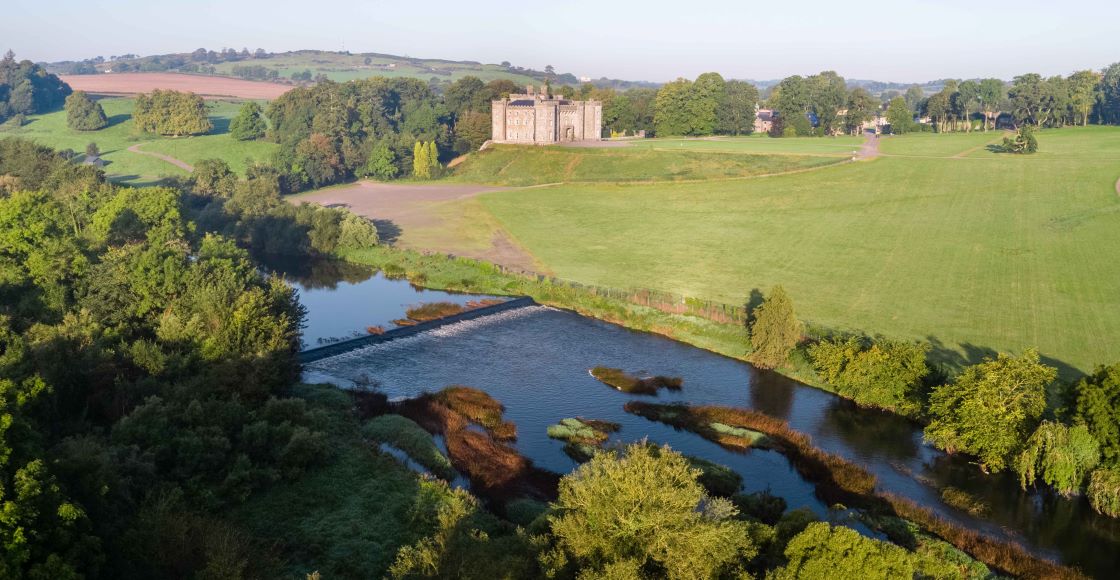
Situated c. 5m from the N bank of the River Boyne at a point where it changes its course from SW-NE to NW-SE, and in the demesne woodland of Slane Castle. ‘Lady Well’ or Tobar Muire is recorded from the 1830s, and it is often said to flood. A pattern is still held there on 15th August, the only day when it is generally open to visitors. The well is circular (diam. c. 1.5m) and lined with stones. (French 2012, 48-9)
Compiled by: Michael Moore
Date of upload: 28 January 2021
The monument record does not grant public access. Check the route and ask the landowner before entering private land.