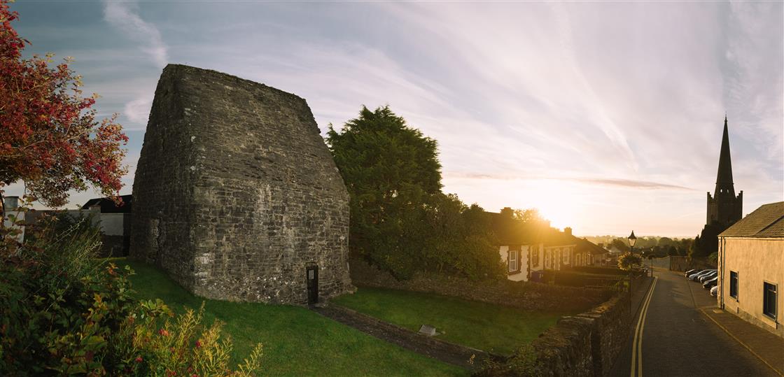
Add your own picture and explain the route, parking, gates, paths or landmarks that help people find it.
Earn 5 points after the picture is checked and accepted.
Add your photo and local directionsShare what you foundWhat is recorded here
Located at the bottom of a N-facing slope and c. 300m ESE of Killary church (ME012-020----). This is annotated as ‘St Toole’s Well’ in gothic lettering on the 1836 and 1908 editions of the OS 6-inch map, and according to John O’Donovan in 1836 (Herity 2001, 46) it might have been more properly called ‘Tober Séacog (Séucog). Nothing else is known about it except that from the aerial imagery it would appear to be no longer extant. Another named well (ME012-047----) is c. 80m to the SSE.
Compiled by: Michael Moore
Date of upload: 3 August 2022
The monument record does not grant public access. Check the route and ask the landowner before entering private land.