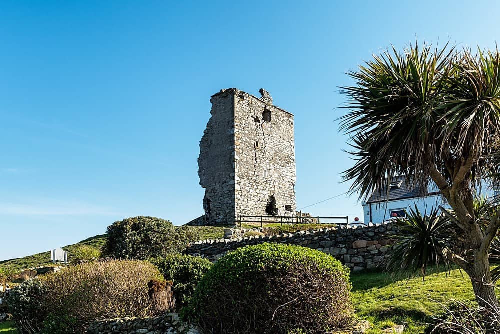
Add your own picture and explain the route, parking, gates, paths or landmarks that help people find it.
Earn 5 points after the picture is checked and accepted.
Add your photo and local directionsShare what you foundWhat is recorded here
A one storey gabled house with two chimneys at the centre of Killary (33) in Killary parish and Slane barony is depicted on the Down Survey (1656-8) barony map (http://downsurvey.tcd.ie/). According to the Civil Survey (1654-6) George Fleming owned 212 acres at Killary in 1640, and ‘an old stone house and a church’ were on the property (Simington 1940, 354). The church is probably the parish church (ME012-020----), which is not depicted on the Down Survey map. The castle is depicted as a small square building (dims c. 5m NE-SW; c. 5m NW-SE) on the 1836 ed. of the OS 6-inch map. A slight rise in the ground is the only indication of the monument in pasture.
See the attached section from the Down Survey barony map (N at right back), courtesy of the National Library of Ireland
The above description is derived from the published 'Archaeological Inventory of County Meath' (Dublin: Stationery Office, 1987). In certain instances the entries have been revised and updated in the light of recent research.
Compiled by: Michael Moore
Date of upload/revision: 8 June 2016
The monument record does not grant public access. Check the route and ask the landowner before entering private land.