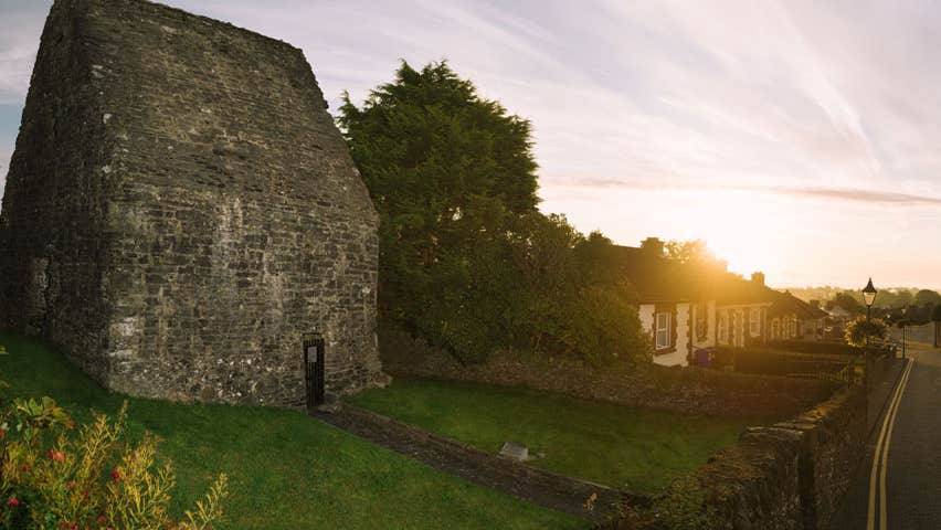
Add your own picture and explain the route, parking, gates, paths or landmarks that help people find it.
Earn 5 points after the picture is checked and accepted.
Add your photo and local directionsShare what you foundWhat is recorded here
Located at the summit of a hill. The motte is a flat-topped, grass-covered mound (diam. of top 12m E-W; diam. of base 33m E-W; H 6-6.4m) defined by a complete fosse (Wth of top c. 6.4m; ext. D 0.7m at E to 1.5m at W) that was surrounded by an earthen bank (Wth of base 10m; ext. H 1.6m) N-SE. This earthen bank might have been continued by an earthen bank extending W (L 43) from the N point. A raised grass-covered bailey (Wth of top 9m E-W; Wth of base 22m E-W; H c. 1.5m) was S of this bank, W of the motte and N of the mapped field bank at S but its W edge was badly damaged by old quarrying (D 4m) in 1968 (SMR file). All these features except the quarry and the motte had been removed by 1999 (OSAP). The parish church of Cruicetown (ME005-094----) is c. 80m SW of the motte.
The above description is derived from the published 'Archaeological Inventory of County Meath' (Dublin: Stationery Office, 1987). In certain instances the entries have been revised and updated in the light of recent research.
Compiled by: Michael Moore
Date of revision: 7 June 2016
Amended: 14 December 2022
The monument record does not grant public access. Check the route and ask the landowner before entering private land.