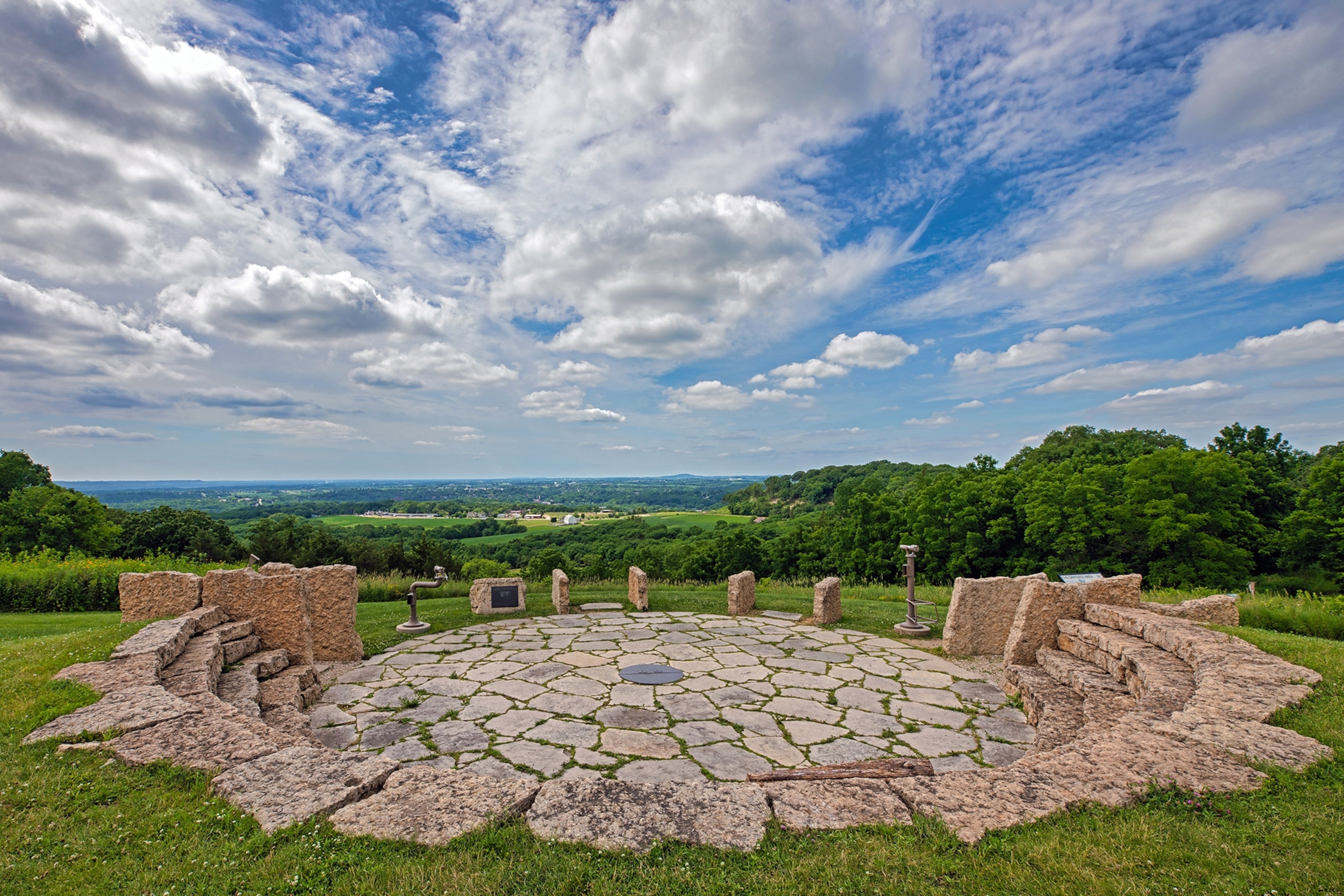
Add your own picture and explain the route, parking, gates, paths or landmarks that help people find it.
Earn 5 points after the picture is checked and accepted.
Add your photo and local directionsShare what you foundWhat is recorded here
Located on a bluff that is on a SW-facing slope overlooking the wooded Milltown Glen and its NW-SE stream which are immediately to the SW. It is described as ‘Rockey’s Fort’ in gothic lettering on the OS 6-inch maps. In 1969 this was described (SMR file) as a raised subcircular and grass-covered area (dims 52m NW-SE; 40.4m NE-SW) defined by an overgrown earthen bank (Wth of base 8-10m; int. H 0.6m at E to 1.2-1.6m generally) that backs onto the slope of the glen (H 5m) S-W, with an outer fosse (Wth of top 8m; Wth of base 2.5m; ext. D 0.2-0.3m) and outer bank (Wth of base 3.2m; ext. H 0.5m) W-NW. The entrance (Wth of base 2.5m) was at SE. The visible profile of the monument had been removed by 1995 (OSAP).
The above description is derived from the published 'Archaeological Inventory of County Meath' (Dublin: Stationery Office, 1987). In certain instances the entries have been revised and updated in the light of recent research.
Compiled by: Michael Moore
Date of upload: 31 August 2018
Amended; 14 December 2022
The monument record does not grant public access. Check the route and ask the landowner before entering private land.