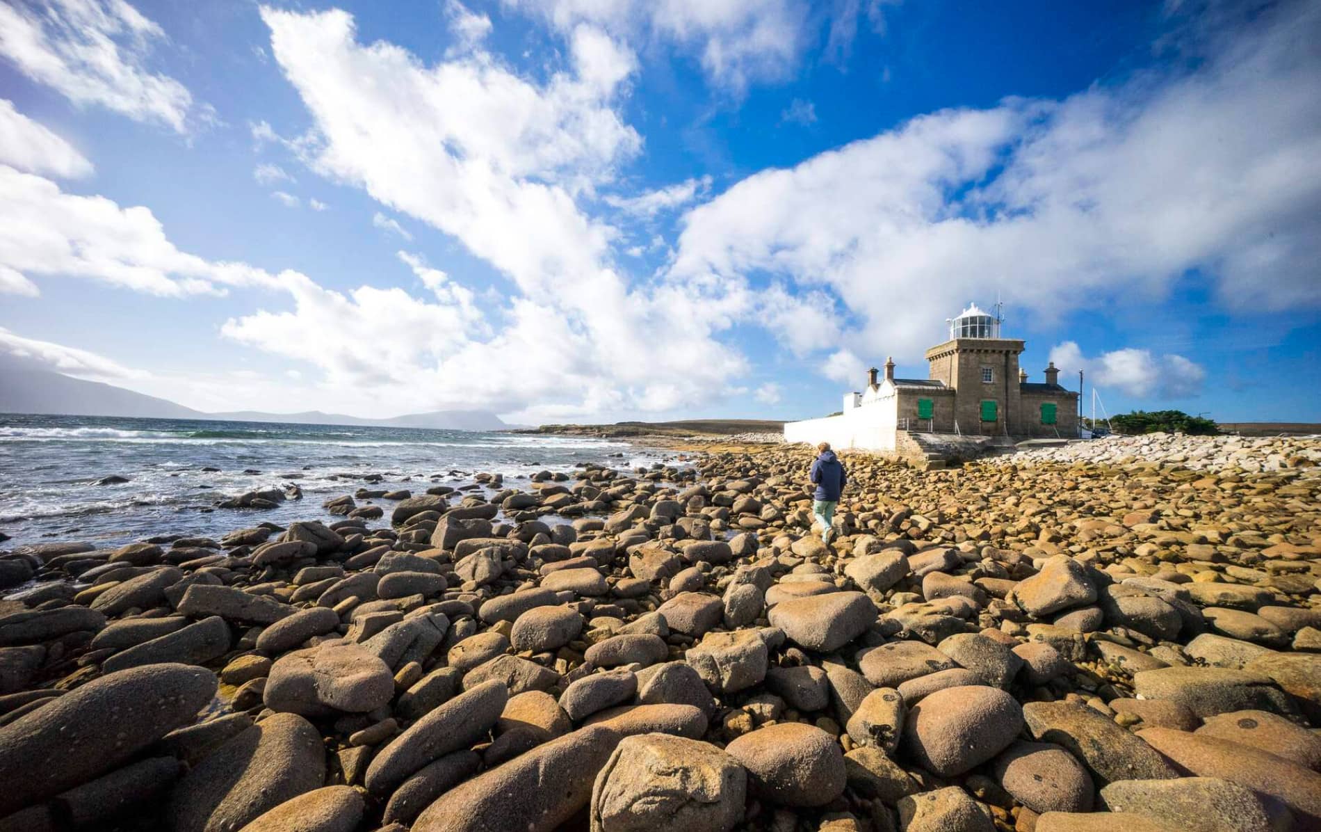
Add your own picture and explain the route, parking, gates, paths or landmarks that help people find it.
Earn 5 points after the picture is checked and accepted.
Add your photo and local directionsShare what you foundWhat is recorded here
In pasture, in a secluded, lowlying location in a stream valley, at the base of a steep NW-facing slope. The enclosure occupies an expanse of relatively level ground, broken by rock outcropping, which is defined at S and W by a meander or bend in the NW-flowing stream. The stream flows into a tidal sea inlet c. 1km to NW of the enclosure. On the W bank of the stream, a broad expanse of raised, rocky terrain extends to S and W. To E of the enclosure, a small valley or pass through the rocky terrain allows access to the sea at a sandy bay located just over 1km to SE. High ridges rise to N and NE, and the looming bulk of Mweelrae Mountain dominates the skyline to SE.
This enclosure is not shown on the 1838 and 1919 OS 6-inch maps. It consists of a subcircular area (47m N−S; 44m E−W) defined by a levelled bank, evident as a broad, low grass-covered rise (Wth 4.5-5m). The bank feels quite hard underfoot, and a few stones protrude in parts from the thick grass cover, suggesting that it may conceal a ruined wall.
The relative difference in internal and external height of the bank varies around the circuit, reflecting natural undulation in the terrain. At S−NW, the bank barely rises above interior ground level (int. H 0.2-0.3m), but has a well defined external slope (ext. H 0.5-0.55 at W); at N it backs onto a natural rise of rock outcropping, and at SE it clips the base of a small hillock, and at both these points the external height of the bank is very low (H 0.2m), while the internal height (H c. 0.55m at N) is more substantial. A gap (Wth 7-8m) at E is the most likely location for the original entrance.
A number of sub-divisions are visible in the level interior. A roughly D-shaped area (c. 16m N−S by c. 6m E−W) is enclosed against the inner edge of the enclosure bank in the W half of the interior. The straight side at W is defined by the enclosure bank, and the curving E side by a very low, undulating moss-covered stony bank (Wth 0.5-0.1m; H 0.2m). There is a gap (Wth 2.4m) mid-way along the E side. At its S end it merges with a barely discernible, sod-covered NE−SW stone bank/wall, which bisects the enclosure roughly centrally. The very faint outline of a subrectangular space (c. 7m NW−SE; c. 4m NE−SW) is located at the inner edge of the enclosure bank at NW. A NE−SW drystone field wall/property boundary overlies the outer edge of the enclosure bank at SE. Relict tracts of cultivation ridges, on varying orientations, are visible in the surrounding field; some of the faint undulations in the enclosure interior may also be cultivation ridges.
Compiled by: Jane O'Shaughnessy
Date of upload: 9 November 2017
The monument record does not grant public access. Check the route and ask the landowner before entering private land.