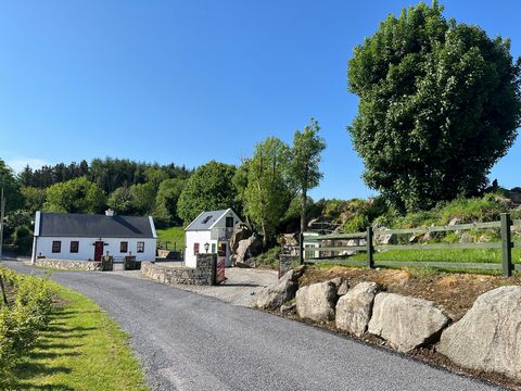
Add your own picture and explain the route, parking, gates, paths or landmarks that help people find it.
Earn 5 points after the picture is checked and accepted.
Add your photo and local directionsShare what you foundWhat is recorded here
In rough pasture, located on the top of a knoll on a low undulating NE−SW ridge, overlooking Levally Lough which is 80m to SE. A meandering river lies c. 180m to NE, where a Corn Mill is indicated on the 1838 and 1916 OS 6-inch maps.
This rath is named ‘Doonfore Fort’ on the 1988 OS 6-inch map; it is not named on the 1916 edition. Knox (1911, 231) recorded the name as ‘Doonooir’.
Circular platform (32.5m N−S; 33.6m E−W) defined by an earthen bank (Wth 3m; int. H 0.8m; ext. H 1.8m, at E and W) outside which it is enclosed by a fosse (Wth 3.4m at E, 4.3m at W) with an external bank (Wth 2.3m at E, 3.4m at W; int. H 1.3m at E, 0.7m at W; ext. H 0.5m at E, 1.8m at W). Two large boulders are incorporated into the external bank at E, one on its inner face, one on its outer face, but not in line with each other; Knox (1911, 231) suggested that these may mark the location of a souterrain (MA103-030002-). The SE arc of the external bank is poorly preserved, and is absent at W−NW. At S−SSW a quarry pit (c. 18m across) cuts into the fosse and external bank.
There are a number of eroded breaks in the inner bank on the E half. A larger gap (Wth 2m) is evident at W. Its S terminal is markedly expanded (Wth 5m) inwards. The gap slopes down steeply outwards, opening onto a rectangular area (c. 15.7m NE−SW; c. 20m NW−SE) defined on the N side by a slight bank (Wth 1.4m) and by a slight undulation on the S side. It appears to extend to W or WSW as far as a field fence which curves around the knoll. This rectangular area was recorded by Knox (1911, 231) who interpreted it as an annex associated with the rath, but its outline was already slight at that date. It is difficult to examine now as it is covered in dense overgrowth, gorse and brambles. Beneath the overgrowth a deep depression/ possible quarry pit can be glimpsed in the N half of this rectangular area.
The rath is covered in long grass, with clumps of gorse and brambles on the perimeter. A possible rath (MA103-029----) is located on a hill 200m to NW.
Compiled by: Jane O’Shaughnessy
Date of upload: 4 November 2022
The monument record does not grant public access. Check the route and ask the landowner before entering private land.