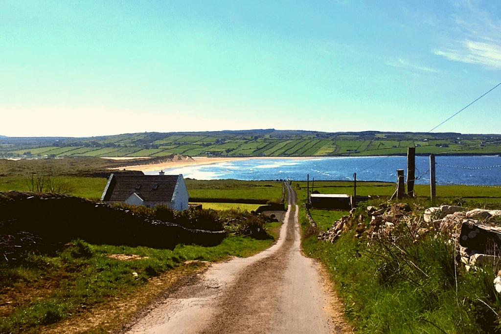
Add your own picture and explain the route, parking, gates, paths or landmarks that help people find it.
Earn 5 points after the picture is checked and accepted.
Add your photo and local directionsShare what you foundWhat is recorded here
In pasture, utilising a natural rise in undulating terrain. Views are relatively open now to NE–E but somewhat restricted elsewhere by natural landscape undulations and high field fences. There is a slight natural depression c. 10m to SW marked by wettish, rush-grown ground.
Circular platform (24.6m N–S; 30.9m E–W) defined by a scarp (H 1.8m at NW; 0.9m at SE). The scarp has a broad, pronounced external slope (Wth c. 4m) but is noticeably lower at the E–SE. It is incorporated at SSE–NW into remnants of a field fence. A shallow depression (Wth 3.5-4m) outside the scarp in the NW arc may be an infilled fosse.
There is a slight slope in the rath interior from centre down to E–SE. It is possible that the entrance was on the low SE side of the rath but no clearly defined gap is evident.
Compiled by: Jane O’Shaughnessy
Date of upload: 27 September 2022
The monument record does not grant public access. Check the route and ask the landowner before entering private land.