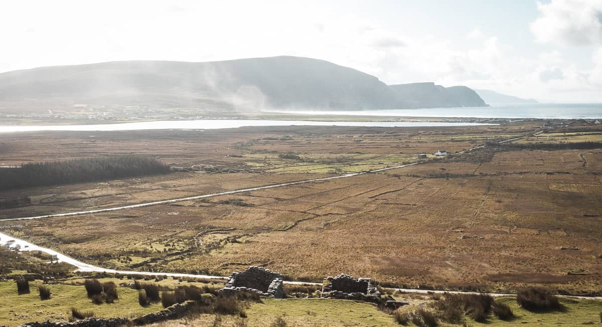
Add your own picture and explain the route, parking, gates, paths or landmarks that help people find it.
Earn 5 points after the picture is checked and accepted.
Add your photo and local directionsShare what you foundWhat is recorded here
In pasture, located on a rise. Ground falls away gradually to NE towards Island Lake (now drained).
Not indicated on the 1838 OS 6-inch map; a roughly rectangular wooded area outlined by a dashed line is shown on the 1916 editions; recorded in an aerial photograph aerial photo: GSI M 94 -5; Roll 213, pr. 36; SMR file.
Broadly oval platform (27.8m E–W; 34.5m N–S) defined by a scarp, outside which at S–NW is a sloping terrace defined on its outer edge by a scarp.
The platform scarp is dilapidated, with stones protrude randomly in parts from the top. At N–ESE it has a steep, broad external slope that merges with the natural fall of ground, giving a drop in height of c. 2m. At E a section has been quarried away. At SE the scarp has a stony ramp-like expansion, possibly an entrance feature. The scarp is very poorly defined on the SW arc
On the W half the platform scarp drops to a sloping terrace (Wth 3-4m) with a scarp on its outer edge. The terrace is well defined at S-SW, following the curve of the enclosure. At NNW the scarp diverges from the enclosure and continues in a straight line NNE to intersect with the NW-SE field wall which lies a few meters N of the enclosure.
The interior is fairly level. To W of centre, there is a slight rise with stones protruding randomly from the sod, bordered on W side by shallow depression (4m N–S; c. 1.2m E–W). To NW of this, more or less coinciding with the line of the enclosing scarp, is a square hollow (max. dim. 2m; D 0.25-0.5m) with large stones protruding from the sides and base. This may simply be the result of disturbance/quarrying, but it might be the remains of a souterrain. The platform is grassy on top and is sparsely ringed with hawthorn trees.
Compiled by: Jane O’Shaughnessy
Date of upload: 30 June 2022
The monument record does not grant public access. Check the route and ask the landowner before entering private land.