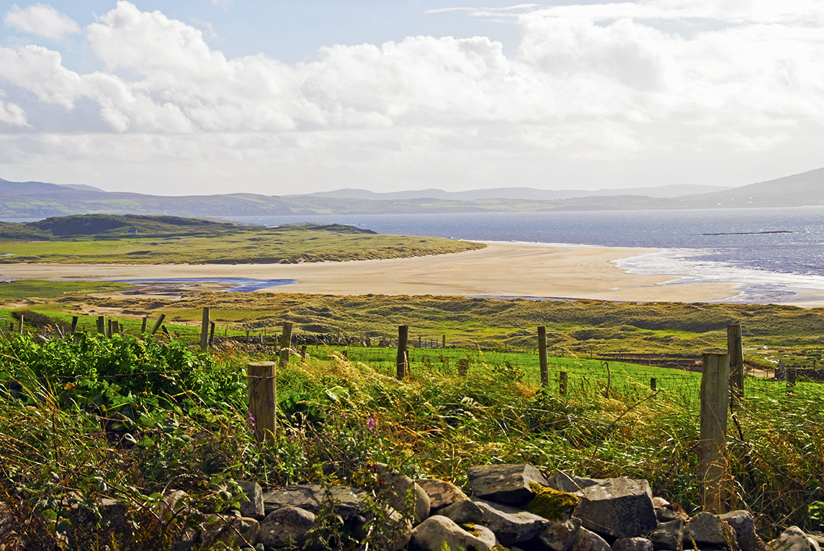
Add your own picture and explain the route, parking, gates, paths or landmarks that help people find it.
Earn 5 points after the picture is checked and accepted.
Add your photo and local directionsShare what you foundWhat is recorded here
In pasture, located on level ground on top of a steep NW-facing slope, which overlooks a small valley extending to N. There are good views over the surrounding rolling grassland, with expanses of forestry c. 200m to E.
Slightly raised broadly oval area (26.5m E−W; 29m N−S) defined by a drystone wall.
The wall is built of small and medium-sized stones, with occasional larger stones or boulders in the basal courses. It is most substantial on the SE arc (Wth 3m; int. H 1.1m; ext. H 1.1m). Elsewhere around the circuit, it has largely collapsed or been modified. On the SW and NE arcs, a narrow drystone wall (Wth 0.8m) rises proud of a broad spread of stones; this appears to be a modern wall built on top of the collapsed original wall. On the NW arc the original wall is reduced to a stony scarp (H 0.8m; Wth slope 1.5m), built up to compensate for the natural fall of ground on this side. A low point in this scarp at N now allows access to the interior.
The enclosing wall is of similar construction to, but noticeably wider than adjacent field walls which radiate from it to N, ESE, SSE and W. It serves as a property boundary on the SW arc.
The level interior is crossed roughly centrally by the tumbled, partly sod-covered remnants of a field wall (Wth c. 1m; H 0.2-0.3m) on a N-S axis. A sod-covered, D-shaped stony mound (6.4m N−S; 3.8m E−W; H 0.5m) abuts the W side of this field wall, roughly in the centre of the enclosure; this seems to be a field clearance heap.
The interior is grassy; clumps of brambles grow on the enclosing wall.
Compiled by: Jane O’Shaughnessy
Date of upload: 29 June 2022
The monument record does not grant public access. Check the route and ask the landowner before entering private land.