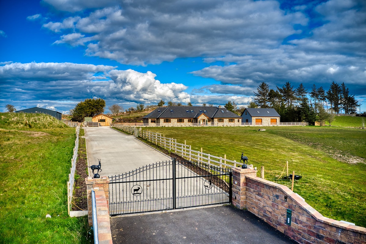
Add your own picture and explain the route, parking, gates, paths or landmarks that help people find it.
Earn 5 points after the picture is checked and accepted.
Add your photo and local directionsShare what you foundWhat is recorded here
In good pasture, on a level raised terrace, marked by a steep slope to NNE, which gives way to a gentler, undulating fall of ground levelling out to bog on the margins of Island Lake (now drained). It is overlooked to S by a hill.
A circular hachured enclosure is shown on the 1916 OS 6-inch map. It has been levelled but its outline (diam. c. 20m) can still be partly traced. An ephemeral undulation at SW–NNW delineates the W arc and a curving scarp (H 1m) is cut into the natural slope at N–NE, now crossed on the N edge by a straight NW–SE field wall. The E–SE arc of the enclosure is truncated by a linear NE–SW property wall.
Compiled by: Jane O’Shaughnessy
Date of upload: 14 June 2022
The monument record does not grant public access. Check the route and ask the landowner before entering private land.