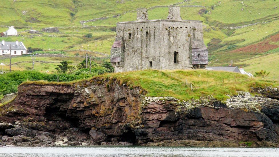
Add your own picture and explain the route, parking, gates, paths or landmarks that help people find it.
Earn 5 points after the picture is checked and accepted.
Add your photo and local directionsShare what you foundWhat is recorded here
In pasture, on rising ground overlooking expanses of wet, boggy ground to S–SE, and with views of higher ground to N.
Slightly raised oval area (34.5m N–S; 40.8m E–W) defined by a scarp (H 1.6m), outside which it is enclosed by a fosse (Wth 3.5m at N, 4m at S) with remnants at SE–NE of an external bank (Wth 2.9m at N, 3.5m at S; int. H 1.1m; ext. H 0.5m). The enclosing scarp has a relatively vertical face which may be the result of relatively recent modification. The external bank has been adapted to serve as a field fence at SE–NW, and traces of stone facing are evident in parts.
The original entrance may have been at ESE where there is a low gap (Wth 2.2m) in the scarp and a hint of a causeway across the fosse.
The rath interior is grassy, flat and featureless; the perimeter is ringed with hazel and hawthorn trees. Cultivation ridges on a N–S axis are visible to N of the rath in the same field.
Knox (1908, 110; 1911, 230) recorded that name of this rath as ‘Lisnacartha (Lis of the Artisans)’. Two raths (MA092-029----; MA092-030----) are located c. 250m to S and c. 260m to SE, respectively.
Compiled by: Jane O’Shaughnessy
Date of upload: 23 February 2022
The monument record does not grant public access. Check the route and ask the landowner before entering private land.