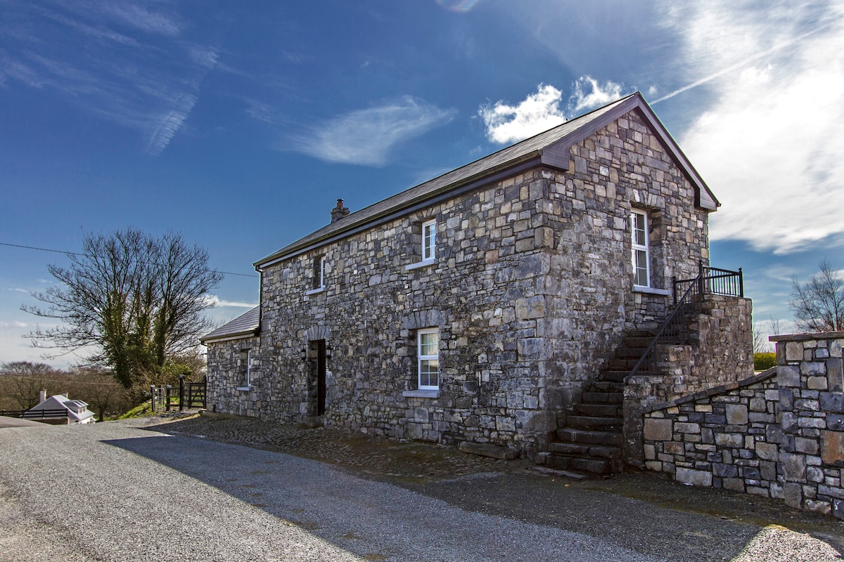
Add your own picture and explain the route, parking, gates, paths or landmarks that help people find it.
Earn 5 points after the picture is checked and accepted.
Add your photo and local directionsShare what you foundWhat is recorded here
In pasture, located on a ridge.
Slightly raised, circular area (30m E–W; 30.6m N–S) defined by a bank (Wth 3.5m; int. H 0.8m at N, 0.3m at S; ext. H 1.2m at N, 1.9m at S) of earth and stone. The bank is best preserved on the W–SW. Stones protrude from the top and sides in parts on the S arc, and are more numerous on the N arc, where the bank has been incorporated into later field fences which respect the curve of the rath. The bank is noticeably lower at the E–ESE, possibly the location of an original entrance.
There is a slight slope down from centre to S in the interior. The perimeter is ringed with hawthorn, blackthorn and brambles, with some encroachment on the grassy interior.
Compiled by: Jane O’Shaughnessy
Date of upload: 31 May 2021
The monument record does not grant public access. Check the route and ask the landowner before entering private land.