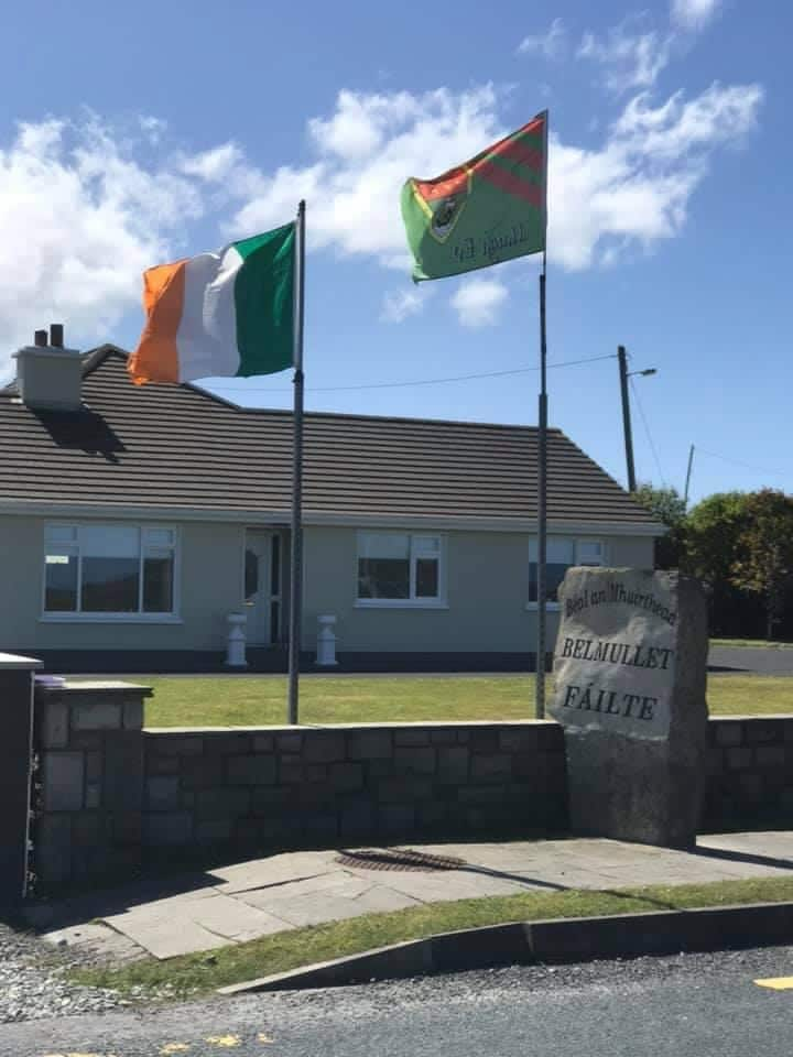
Add your own picture and explain the route, parking, gates, paths or landmarks that help people find it.
Earn 5 points after the picture is checked and accepted.
Add your photo and local directionsShare what you foundWhat is recorded here
In pasture, located on top of a ridge, with a steep fall of ground to N, overlooking an expanse of poorly drained pasture and bog at N–NE. There is a small pool c. 30m to W and a river c. 200m to W. The rath has been incorporated into the environs of a now ruined, vernacular farmstead.
Raised circular area (33m N–S; 29m E–W) defined NNE–SE by an earthen bank (Wth 3.4m; int. H 0.7m; ext. H 1.75m at NE), reduced elsewhere to a scarp (Wth 1.8m at SW) which retains a slight internal lip in parts. The bank has been modified to serve as a field boundary. This is particularly evident at SW–NE where the scarp presents an almost vertical face with traces of stone facing in parts. Two vernacular stone-built sheds abut the scarp at SE and SSE. Between the two sheds there is gap (Wth c. 3m) in the scarp that may mark an original entrance. There are a number of other low or degraded sections in the scarp, including a break (Wth 1m) at NNW, but these appear to be the result of erosion by stock and farm activity.
The perimeter is ringed with elder, hawthorn, blackthorn, and gorse; the interior covered by long grass.
Compiled by: Jane O’Shaughnessy
Date of upload: 31 March 2021
The monument record does not grant public access. Check the route and ask the landowner before entering private land.