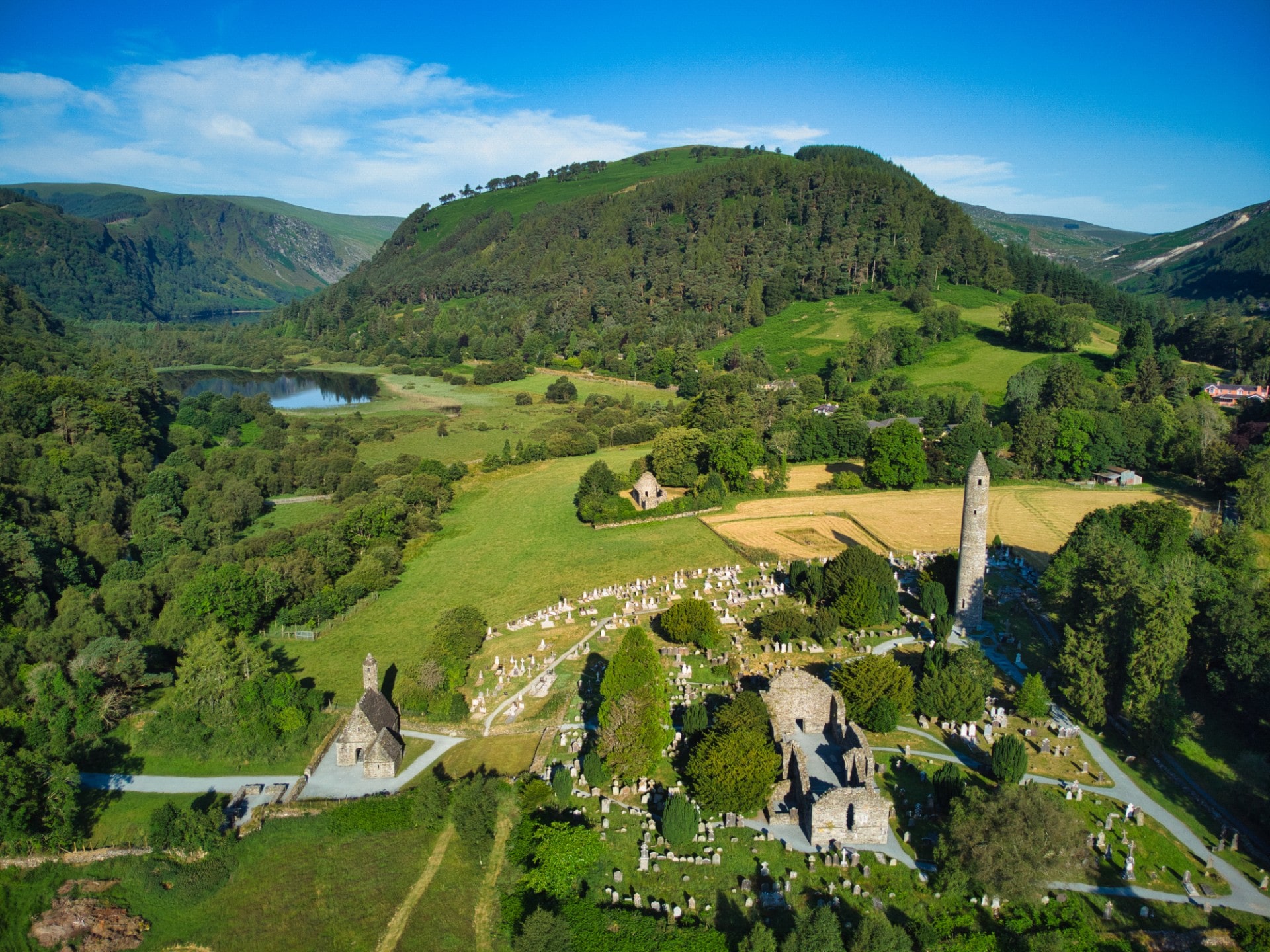
Add your own picture and explain the route, parking, gates, paths or landmarks that help people find it.
Earn 5 points after the picture is checked and accepted.
Add your photo and local directionsShare what you foundWhat is recorded here
In pasture, located on a rise on top of a ridge, with a pronounced fall of ground to S−SW and very good views.
Roughly circular platform (31m NNE−SSW) defined by a scarp (H 0.6-0.8m, 1.6m at SSW). The scarp retains a slightly raised internal rim which incorporates occasional large stones. The external face is quite vertical on the W arc and quite dilapidated at N.
A slight depression, with a hint of a rise on its outer edge, immediately outside the scarp on the SE arc may indicate a fosse and levelled outer bank. There is a low area (Wth 2m) in the scarp at NE, which might be an original entrance but is not clearly defined.
The interior is fairly level; it is grassy, with a large heap of overgrowth-covered field clearance debris in the SE quadrant. A field fence/townland boundary on a NNE−SSW axis crosses the rath to W of centre and a perpendicular field fence extends from it across the NW quadrant.
There are raths (MA071-156----; MA071-157----; MA071-158----) 80m to E, 155m to E and 170m to SE, respectively.
Compiled by: Jane O’Shaughnessy
Date of upload: 14 September 2021
The monument record does not grant public access. Check the route and ask the landowner before entering private land.