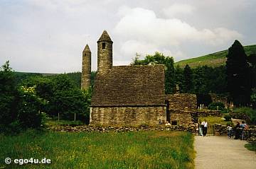
Add your own picture and explain the route, parking, gates, paths or landmarks that help people find it.
Earn 5 points after the picture is checked and accepted.
Add your photo and local directionsShare what you foundWhat is recorded here
In a dense thicket of blackthorn, located at the steep break of slope on the SW side of a ridge, with excellent views.
A circular embanked enclosure is shown on the 1838 OS 6-inch map; a penannular enclosure, open to NW, and incorporated onto later field walls is shown on the 1931 edition. Dense overgrowth impeded examination of this roughly circular enclosure (diam. c. 25m). Remnants of an enclosing wall or stone bank (Wth c. 1.8m; int. H 0.3-0.4m; ext. H 0.6m, at NE) composed of limestone stones and boulders can be glimpsed at N–NE and at SW where it merges with the break of slope. The interior is largely impenetrable, but appears to be relatively level, broken in parts by limestone boulders or bedrock. According to local tradition, there is a children’s burial ground (MA071-152001-) here.
Compiled by: Jane O’Shaughnessy
Date of upload: 13 September 2021
The monument record does not grant public access. Check the route and ask the landowner before entering private land.