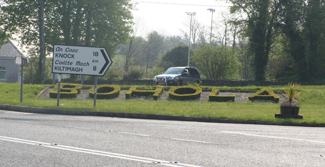
Add your own picture and explain the route, parking, gates, paths or landmarks that help people find it.
Earn 5 points after the picture is checked and accepted.
Add your photo and local directionsShare what you foundWhat is recorded here
In wet, rush-grown pasture, located on a rush-grown, damp terrace on a SE-facing slope. It overlooks a valley of wet marsh ground, with a stream c. 100m to E.
Circular platform (estimated diam. 35m E−W) defined by an earthen scarp (H 1.3m at SE, 0.9m at W) and enclosed by a fosse (Wth 2.3m at W).
The scarp is progressively lower and more degraded from NE–E; it is absent or levelled at E–ESE, possibly marking the original entrance. The fosse is best defined at W–NW, where its base is very wet and soggy; it is visible elsewhere only as a slight wet depression, and is truncated at S–SW by a field drain (Wth 0.8m) on a NW–SE axis, with a parallel field bank on its outer edge. The rath is engulfed in a thicket of blackthorn, which impedes examination.
Compiled by: Jane O’Shaughnessy
Date of upload: 13 August 2021
The monument record does not grant public access. Check the route and ask the landowner before entering private land.