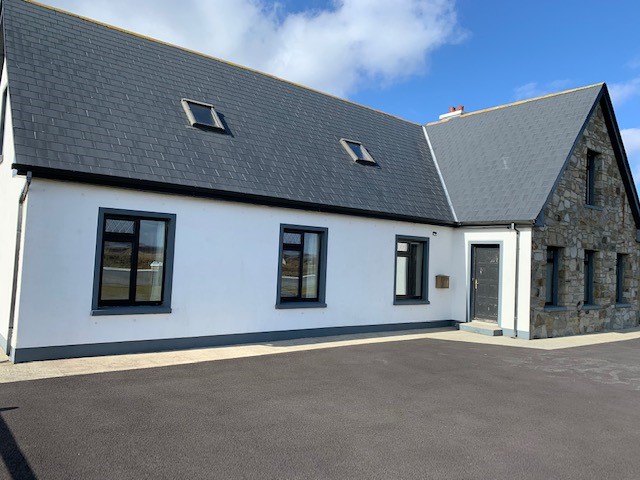
Add your own picture and explain the route, parking, gates, paths or landmarks that help people find it.
Earn 5 points after the picture is checked and accepted.
Add your photo and local directionsShare what you foundWhat is recorded here
Located on a ridge, with a stream 150m to N.
Indicated on the 1838 OS 6-inch map as a rectangular enclosure bisected centrally on an E−W axis by a road leading to cluster of vernacular houses immediately to SW; shown on the 1931 edition as a subcircular enclosure, hachured on the N arc, bisected by the road.
Subcircular raised area (32.8m E−W; 32.3m N−S) defined on the S half by a broad moss- and ivy-covered stone bank (Wth 2.4m; int. H 0.65m; ext. H 0.9m) which serves as a field fence. The perimeter on the N half is difficult to examine due to dense overgrowth: there is a vertical-faced scarp on the NW arc, which merges with a pit/area of disturbance, and on the NE arc the scarp has a gentle slope or slump, incorporating a jumble of loose stones. Outside the scarp on the NE arc there is depression (Wth 2m; D 0.4m), possibly indicating a fosse –it cannot be traced elsewhere.
A road (Wth 2.7m) cuts through the centre of the enclosure. The N half of the rath interior (i.e. to N of road) appears to be at a slightly lower level than the S half. The road is flanked on the N side by a low drystone wall (Wth 1.2m; H 0.4m) and on the S side by inward-facing, stone-clad scarp. The road leads W to a cluster of derelict vernacular buildings, farm sheds and a modern house.
The perimeter is ringed with ash and blackthorn trees and brambles, particularly dense on the N half. The interior in the N half is covered in brambles and nettles; the S half is under long grass. A farm track skirts the NW arc of the enclosure. There is a rath (MA071-047----) 50m to SE.
Compiled by: Jane O’Shaughnessy
Date of upload: 22 July 2021
The monument record does not grant public access. Check the route and ask the landowner before entering private land.