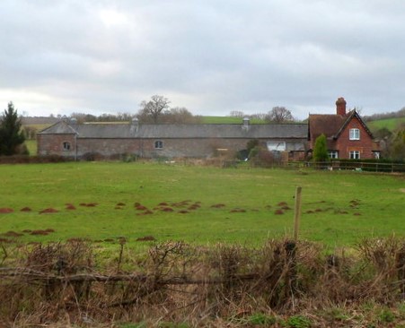
Add your own picture and explain the route, parking, gates, paths or landmarks that help people find it.
Earn 5 points after the picture is checked and accepted.
Add your photo and local directionsShare what you foundWhat is recorded here
In pasture, located at the NNE end of a hillock/drumlin which slopes down to the WNW, NNE and steeply to the ESE.
This rath is depicted on the 1838 OS 6-inch map as a circular embanked enclosure (diam. c. 35m), with a souterrain marked as ‘Cave’ in the NE quadrant; it is not shown on later map editions. The enclosing bank was partly levelled in the past. The remains consist of a roughly circular raised area (34m NNE-SSW) defined by a broadly sloping scarp (H 1.5m at N; 2m at W) which is entirely levelled for a short section at S. A souterrain (MA070-131002-) is located in a copse of hazel and hawthorn in the SE quadrant. (Pers. comm. Richard Crumlish).
Attached images are provided courtesy of Richard Crumlish:
MA070-131001-_01.JPG Rath viewed from NNE
Compiled by: Jane O’Shaughnessy
Date of upload: 13 August 2021
The monument record does not grant public access. Check the route and ask the landowner before entering private land.