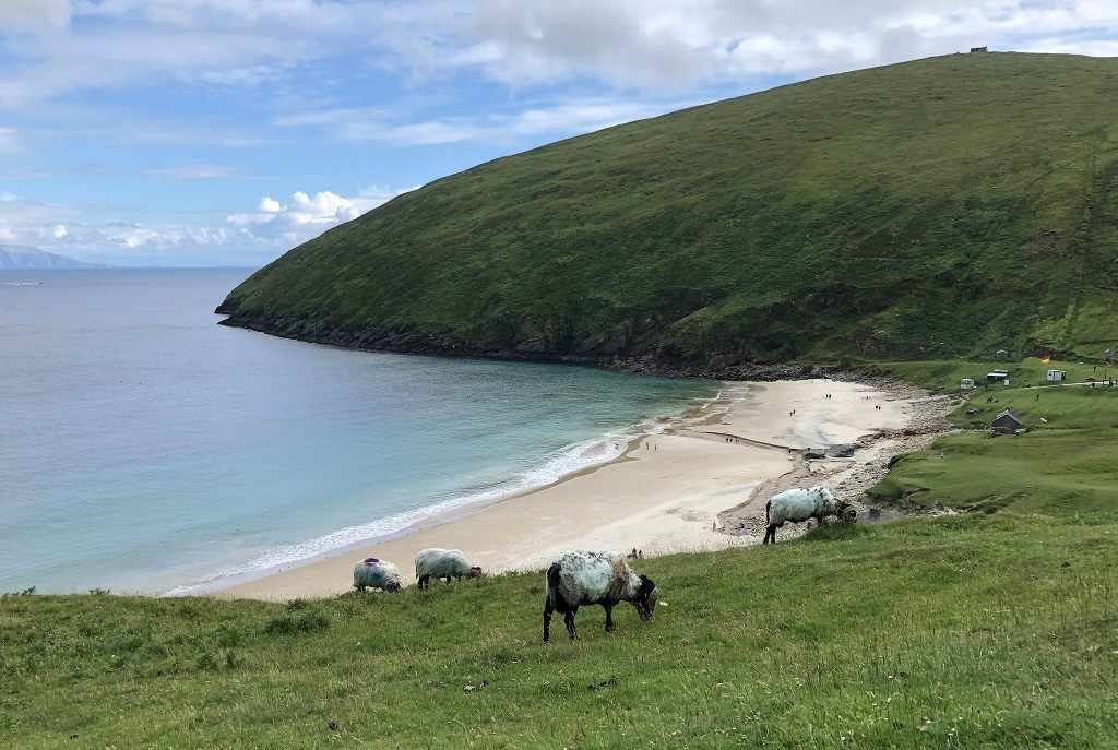
Add your own picture and explain the route, parking, gates, paths or landmarks that help people find it.
Earn 5 points after the picture is checked and accepted.
Add your photo and local directionsShare what you foundWhat is recorded here
In pasture, on a low rise in rough rush-grown ground. There is a stream 180m to E. The townland boundary coincides with the N-S course of the stream.
A circular embanked enclosure (diam. c. 20m) is shown on the 1838 OS 6-inch map; it is not shown on the 1920 edition. It has been levelled. A low rise, with a slight fall of ground to N and E, can be seen, but the outline of the enclosure cannot be traced at ground level.
Compiled by: Jane O'Shaughnessy
Date of upload: 7 July 2020
The monument record does not grant public access. Check the route and ask the landowner before entering private land.