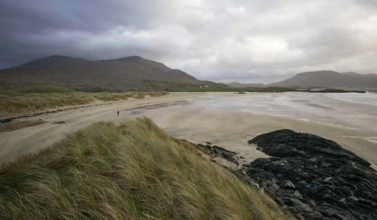
Add your own picture and explain the route, parking, gates, paths or landmarks that help people find it.
Earn 5 points after the picture is checked and accepted.
Add your photo and local directionsShare what you foundWhat is recorded here
In a thicket of overgrowth in the E half of a pasture field, located on top of a steep-sided knoll, overlooking flat, lowlying ground. A low ridge restricts views to N. An old farm track skirts the E side of the knoll, and there is a farmstead immediately to E.
Roughly oval area (c. 20m N−S; c. 15-18m E−W) encompassing the top of the knoll, and defined by a scarp (c. 1.8m at SE) merging with the natural slope. In parts the scarp is topped by a slight stony rim. The scarp has a broader, lower slope at NE; the original entrance may have been on this side.
The NW part of the knoll has been deeply quarried out in the early 20th century to a depth of c. 3m, destroying the NW and centre of the rath interior. The surviving portion of the interior has a very slight slope outwards from centre to the perimeter
There is a local tradition that the rath was used for the burial of unbaptized babies (MA063-007001-); one grave is visible in the SE quadrant. The rath is engulfed in hazel, blackthorn and brambles.
Compiled by: Jane O'Shaughnessy
Date of upload: 7 July 2020
The monument record does not grant public access. Check the route and ask the landowner before entering private land.